Chinhahsan
| Hargehsan | |
|---|---|
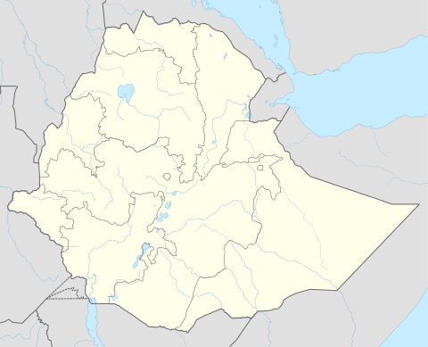 Hargehsan Location within Ethiopia | |
| Coordinates: 9°30′N 42°42′E / 9.500°N 42.700°ECoordinates: 9°30′N 42°42′E / 9.500°N 42.700°E | |
| Country | Ethiopia |
| Region | Oromia |
| Zone | Misraq Hararghe |
| Elevation | 1,816 m (5,958 ft) |
| Population (2007) | |
| • Total | 12,261 |
| Time zone | EAT (UTC+3) |
Chinhahsan (also transliterated Chinaksen; Somali: Jinacsani) is a city in eastern Ethiopia. Located in the Misraq Hararghe Zone of the Oromia Region, this city has a latitude and longitude of 9°30′N 42°42′E / 9.500°N 42.700°E with an elevation of 1816 meters above sea level.
Chinhahsan is a settlement with stone walls built at the foot of an oval hill; on the hill are ruins of fortifications possibly of Abyssinian origins. This is one of several places where local tradition claims that Imam Ahmed Gragn was born of a Christian priest and a Moslem woman. About half a kilometer away are the remains of an ancient ketema or fortified enclosure named Derbiga, which different legends state was built either by a giant named Arla or by the Ethiopian Emperor Zara Yaqob.[1] Huntingford speculates that Chinhahsan is the modern name for Dakkar, one of the capitals of the Adal Sultanate.[2]
The writer Nega Mezlekia, an Amhara from Jijiga who had joined the Western Somali Liberation Movement, relates how he participated in an attack on a Derg military training camp in Chinhahsan. No prisoners were taken in the attack; those who surrendered were shot dead.[1] Early in the Ogaden War, Chinhahsan was captured by Somali units as they advanced on Dire Dawa; it was recaptured by Ethiopian units between 5 and 9 February 1978.[3]
In late January 2009, the Ethiopian Electric Power Corporation completed a 27-km electric power line 27 kilometers in length from Jijiga to Chinhahsan, while constructing six power distributors in the town. This provided 24-hour electric service to Chinhahsan for the first time.[4]
Demographics
Based on figures from the Central Statistical Agency in 2005, Chinhahsan has an estimated total population of 11,558 of whom 5,981 are men and 5,577 are women.[5] According to the 1994 national census this city had a population of 56,821 people. This town is one of the two largest settlements in Jijiga woreda.
The 1997 census reported this town had a total population of 7,753 of whom 3,951 were men and 3,802 women. The three largest ethnic groups reported in this town were the Oromo (64.72%), Somali (20.59%), and the Amhara (10.8%); all other ethnic groups made up the remaining 3.89% of the residents.[6]
Notes
- 1 2 "Local History in Ethiopia" The Nordic Africa Institute website (accessed 1 March 2009)
- ↑ G.W.B. Huntingford, Historical Geography of Ethiopia from the first century AD to 1704 (London: British Academy, 1989),p. 87
- ↑ Gebru Tareke, "The Ethiopia-Somalia War of 1977 Revisited," International Journal of African Historical Studies, 2000 (33), p. 658
- ↑ "Chinakson Town gets 24 hr electric power service", Ethiopian News Agency, 29 January 2009 (accessed 28 May 2009)
- ↑ CSA 2005 National Statistics Archived November 13, 2009, at the Wayback Machine., Table B.4
- ↑ 1994 Population and Housing Census of Ethiopia: Results for Somali Region, Vol. 1 Archived November 19, 2008, at the Wayback Machine. Tables 2.4, 2.13 (accessed 10 January 2009). The results of the 1994 census in the Somali Region were not satisfactory, so the census was repeated in 1997.