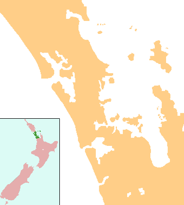
Chatswood, New Zealand
| Chatswood | |
|---|---|
 Chatswood | |
| Basic information | |
| Local authority | Auckland Council |
| Electoral ward | North Shore |
| Coordinates | 36°48′57″S 174°42′57″E / 36.8159°S 174.7157°ECoordinates: 36°48′57″S 174°42′57″E / 36.8159°S 174.7157°E |
| Population | 3,834 (2006) |
| Surrounds | |
| North | Windy Ridge |
| Northeast | Highbury, Northcote West |
| East | Birkenhead |
| Southeast | (Waitemata Harbour) |
| South | (Waitemata Harbour) |
| Southwest | (Waitemata Harbour) |
| West | Kauri Park |
Chatswood is a suburb in the city of Auckland, New Zealand. It contains a primary school and many parks. To the south of Chatswood is Kendall's Bay, a small bay of the Waitemata Harbour. The suburb is under the governance of Auckland Council.
The population was 3,834 in the 2006 Census, an increase of 147 from 2001.[1]
The Royal New Zealand Navy's Kauri Point Armament Depot is located in Chatswood.
Education
Chelsea School is a coeducational contributing primary (years 1-6) school with a decile rating of 10 and a roll of 355.[2] It was built in 1981.[3]
Notes
- ↑ The statistical area used by the Census is called Chelsea. Quickstats about Chelsea
- ↑ Te Kete Ipurangi schools database: Chelsea School
- ↑ "About Chelsea School". Chelsea School. Retrieved 2009-01-12.
External links
This article is issued from Wikipedia - version of the 11/28/2016. The text is available under the Creative Commons Attribution/Share Alike but additional terms may apply for the media files.