Charity Island (Michigan)
 Charity Island Charity Island (Michigan) (Michigan) | |
| Geography | |
|---|---|
| Location | Saginaw Bay |
| Coordinates | 44°01′53″N 83°26′08″W / 44.03139°N 83.43556°W |
| Area | 0.347 sq mi (0.90 km2) |
| Coastline | 3 mi (5 km) |
| Administration | |
|
United States | |
| State | Michigan |
| County | Arenac County |
| Township | Whitney Township |
Charity Island, sometimes called Big Charity Island, is the largest island in Saginaw Bay, in the Michigan waters of Lake Huron. The island is 222 acres (0.90 km2) in area and has about 3 miles (5 km) of shoreline. It is part of Whitney Township, in Arenac County.
The island was named by lake mariners for its location, placed 'through the charity of God' at the entrance to Saginaw Bay midway between the city of Au Gres, Michigan and "The Thumb".
The island was offered for sale in 1987 for $750,000. Ten years later, in 1997, more than 80% of the island was acquired by the U.S. Fish and Wildlife Service as an addition to the Michigan Islands National Wildlife Refuge (MINWR) system. The island is largely forested, mainly with mixed hardwoods. The humid ecoclimate is friendly to a diverse herbarium, including some rare plant species. "Its isolated beaches and unique hardwood forest provides excellent habitat for a variety of plants and animals. Many rare and protected species of plants grow on the Island including Pitcher's thistle, acres of Trillium, Jack in the Pulpit, and Pink Lady Slippers."[1]
The island is best known among mariners for its former lighthouse. Charity Island Light was constructed in 1857. It operated in 1857-1930 and was then replaced by the Gravelly Shoal Light. The lighthouse complex stands on a land parcel within the island that was not added to the MINWR.[2]
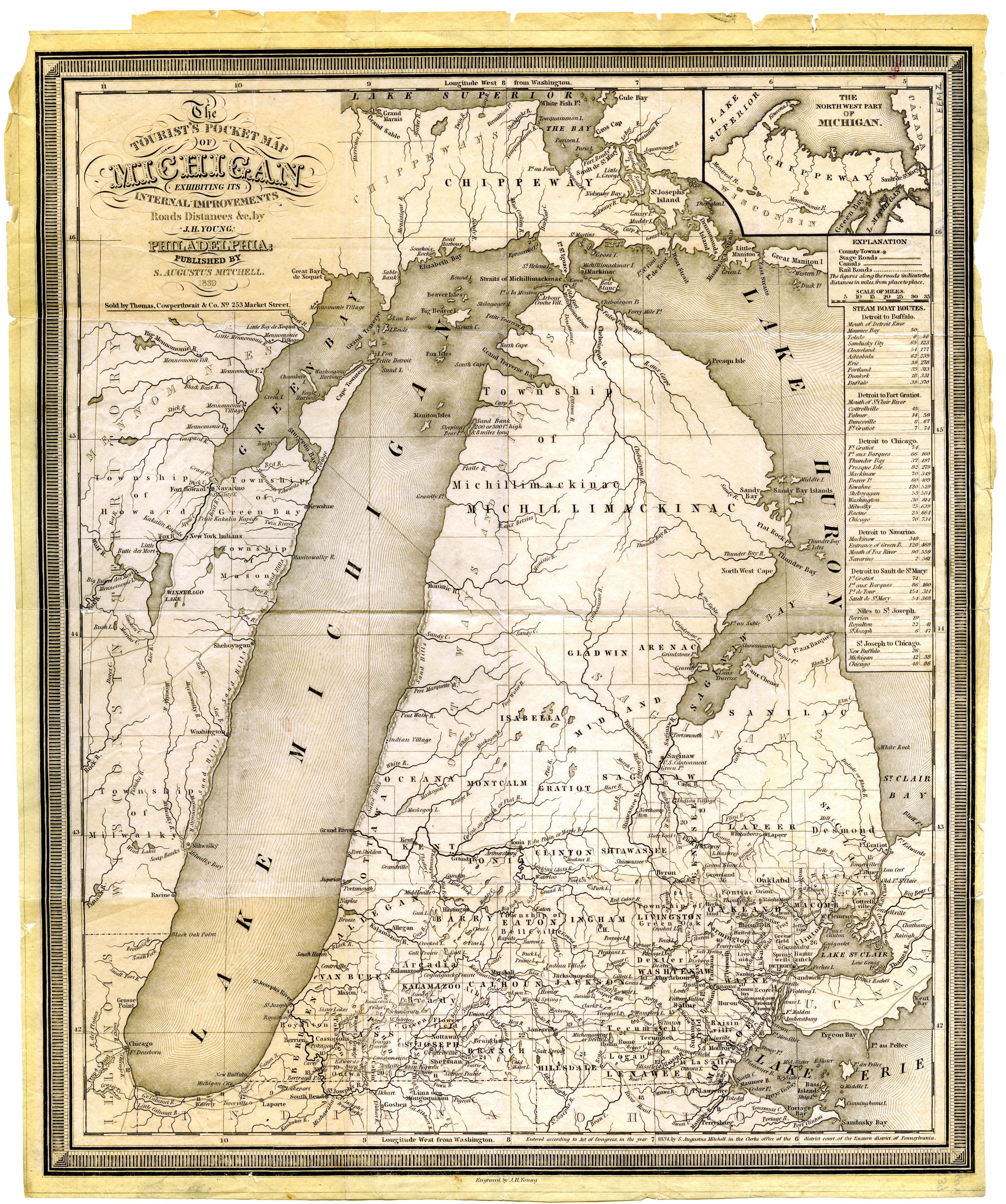
Native Americans named the Charity Islands. They believed these islands were placed there by their Gitchi Manitou to provide safe shelter for all, Indians and French voyageurs alike. However, the islands weren't known as the Charity Islands until after 1845. Maps before 1800 show the islands unnamed. According to a 1839 map, Big Charity Island was referred to as Shawangunk, while Little Charity Island was known as Ile de Traverse.[3]
Geologically, the island contains pockets of chert that are believed to have been quarried by Native Americans. Offshore, the gravel reefs to the south creates a shallow-water channel separating Charity Island from its smaller neighbor, Little Charity Island. The area between the two islands is a favorite spot for fishing. On the northeast end of the island, a small bay is lined with limestone bedrock, offering good holding ground as a place to anchor during storms. The harbor of refuge is accessible by small boat, though access is controlled by the U.S. Fish and Wildlife Service.
The island also contains an 11-acre (0.04 km²) pond, literally a 'lake within a lake', fed by springs.
Tours of the island (and even dinner cruises) are available. They include the privately owned, rebuilt Charity Island Lightlightkeeper's house and a passing view of Gravelly Shoal Light. They are available from a ferry company in Au Gres, Michigan on the mainland, south of Tawas.[4]
Coordinates: 44°01′53″N 83°26′08″W / 44.03139°N 83.43556°W
External links
References
- ↑ Charity Island Webpage
- ↑ A.W. Sweigert, "Calendar", Inland Seas 43:2 (Summer 1987), page 133.
- ↑ Michigan State University Map Archive (Michigan, 1839)
- ↑ Charity Island ferry service. Archived July 23, 2011, at the Wayback Machine.