Chapultenango
| Chapultenango | |
|---|---|
| Municipality | |
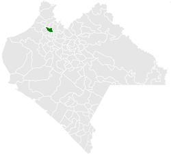 Municipality of Chapultenango in Chiapas | |
|
Chapultenango Location in Mexico | |
| Coordinates: 17°20′N 93°08′W / 17.333°N 93.133°WCoordinates: 17°20′N 93°08′W / 17.333°N 93.133°W | |
| Country |
|
| State | Chiapas |
| Area | |
| • Total | 161.5 km2 (62.4 sq mi) |
| Elevation | 775 m (2,543 ft) |
| Population (2010) | |
| • Total | 7,332 |
Chapultenango is a town and one of the 119 Municipalities of Chiapas, in southern Mexico. It covers an area of 161.5 km².
As of 2010, the municipality had a total population of 7,332,[1] up from 6,965 as of 2005.[2]
As of 2010, the town of Chapultenango had a population of 3,129.[1] Other than the town of Chapultenango, the municipality had 34 localities, none of which had a population over 1,000.[1]
References
- 1 2 3 "Chapultenango". Catálogo de Localidades. Secretaría de Desarrollo Social (SEDESOL). Retrieved 23 April 2014.
- ↑ "Chapultenango". Enciclopedia de los Municipios de México. Instituto Nacional para el Federalismo y el Desarrollo Municipal / Gobierno del Estado de Chiapas. Retrieved July 25, 2008.

This article is issued from Wikipedia - version of the 7/26/2016. The text is available under the Creative Commons Attribution/Share Alike but additional terms may apply for the media files.