Chapada dos Guimarães
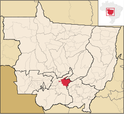
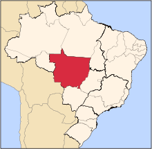
Chapada dos Guimarães is a municipality located in central Brazil, 62 km from the city of Cuiaba, the capital of Mato Grosso State. It is home to the Chapada dos Guimarães National Park. Outside this town is the geographic center of South America.
The municipality contains 77% of the 3,534 hectares (8,730 acres) Rio da Casca Ecological Station, a strictly protected conservation unit created in 1994.[1]
References
External links
|
|---|
|
|
|
| Centro-Sul Mato-Grossense | Alto Pantanal | |
|---|
| Alto Paraguai | |
|---|
| Cuiabá | |
|---|
| Rosario Oeste | |
|---|
| |
|---|
|
| Nordeste Mato-Grossense | Canarana | |
|---|
| Medio Araguaia | |
|---|
| Norte Araguaia | |
|---|
|
|---|
|
| Norte Mato-Grossense | Alta Floresta | |
|---|
| Alto Teles Pires | |
|---|
| Arinos | |
|---|
| Aripuanã | |
|---|
| Colíder | |
|---|
| Paranatinga | |
|---|
| Parecis | |
|---|
| Sinop | |
|---|
|
|---|
|
| Sudeste Mato-Grossense | Alto Araguaia | |
|---|
| Primavera do Leste | |
|---|
| Rondonópolis | |
|---|
| Tesouro | |
|---|
|
|---|
|
| Sudoeste Mato-Grossense | Alto Guapore | |
|---|
| Jauru | |
|---|
| Tangará da Serra | |
|---|
|
|---|