Chao Phraya Dam
| Chao Phraya Dam | |
|---|---|
 | |
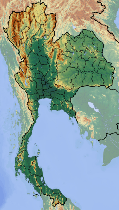 Location in Thailand | |
| Country | Thailand |
| Coordinates | 15°09′29″N 100°10′48″E / 15.15806°N 100.18000°ECoordinates: 15°09′29″N 100°10′48″E / 15.15806°N 100.18000°E |
| Construction began | 1952 |
| Opening date | 1957 |
| Owner(s) | Royal Irrigation Department |
| Dam and spillways | |
| Type of dam | Barrage |
| Impounds | Chao Phraya River |
The Chao Phraya Dam is a barrage dam in Sapphaya District, Chai Nat, Thailand. It regulates the flow of the Chao Phraya River as it passes into lower central Thailand, distributing water to an area of 11,600 square kilometres (4,500 sq mi) in seventeen provinces as part of the Greater Chao Phraya Irrigation Project. The dam has sixteen 12.5-metre gates, and its construction took place from 1952 to 1957.[1]
References
- ↑ "เขื่อนเจ้าพระยา". Royal Irrigation Department (RID). Retrieved 3 September 2016.
This article is issued from Wikipedia - version of the 11/20/2016. The text is available under the Creative Commons Attribution/Share Alike but additional terms may apply for the media files.