Ch'iyar Qullu (Oruro)
| Ch'iyar Qullu | |
|---|---|
 Ch'iyar Qullu Location in Bolivia | |
| Highest point | |
| Coordinates | 19°26′00″S 67°23′00″W / 19.43333°S 67.38333°WCoordinates: 19°26′00″S 67°23′00″W / 19.43333°S 67.38333°W [1][2] |
| Geography | |
| Location |
Bolivia, Oruro Department, Ladislao Cabrera Province |
| Parent range | Andes |
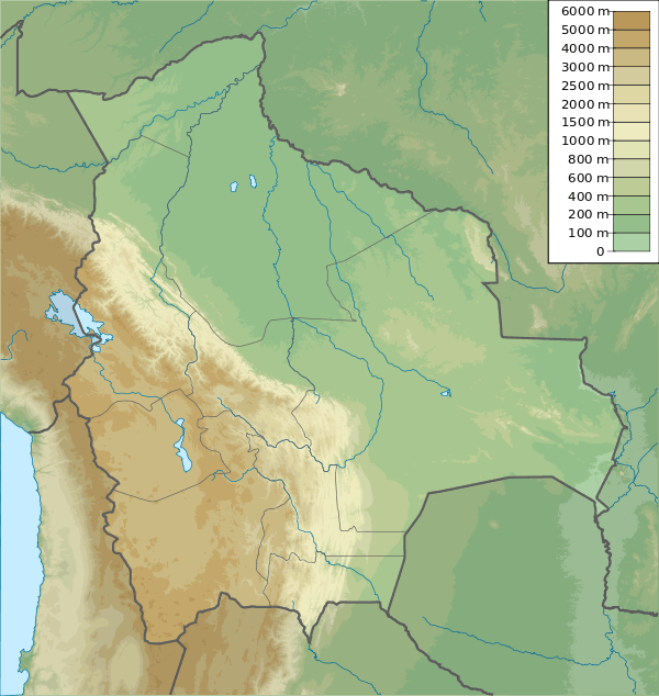
Ch'iyar Qullu (Aymara ch'iyara black, qullu mountain,[3] "black mountain", also spelled Chiar Kkollu) is a volcanic centre in Bolivia. It is located in the Oruro Department, Ladislao Cabrera Province, Salinas de Garci Mendoza Municipality, northeast of Salinas de Garci Mendoza, near a maar named Jayu Quta ("salt lake").[4]
It is a sill formed from primitive phyric alkali basalt that closely resembles ocean island basalt in composition and now appears as a hill. The rocks contain augite and olivine and the eruption site coincides with a local lineament[2][5] and is of Miocene age,[6] with dates of 22.51±0.45 mya by Ar-Ar dating and 25.2±0.5 mya by K-Ar dating.[5] The Ch'iyar Qullu magmas are Central Andes intraplate magmas and originate from the upper mantle.[7]
References
- ↑ Pierre Soler, Gabriel Carlier, Michel G. Bonhomme, Michel FornariFORNARI, Field Observations and K-Ar DAting of the Cerro Chiar Kkollu (Southern Altiplano, Bolivia), Second ISAG, Oxford (UK), 21-23/9/1993 (see coordinates and sketch map)
- 1 2 Davidson, Jon P.; de Silva, Shanaka L. (1992). "Volcanic rocks from the Bolivian Altiplano: Insights into crustal structure, contamination, and magma genesis in the central Andes". Geology (journal). 20 (12): 1127. doi:10.1130/0091-7613(1992)020<1127:VRFTBA>2.3.CO;2. Retrieved 17 November 2015.
- ↑ Radio San Gabriel, "Instituto Radiofonico de Promoción Aymara" (IRPA) 1993, Republicado por Instituto de las Lenguas y Literaturas Andinas-Amazónicas (ILLLA-A) 2011, Transcripción del Vocabulario de la Lengua Aymara, P. Ludovico Bertonio 1612 (Spanish-Aymara-Aymara-Spanish dictionary)
- ↑ "Salinas de Garco Mendoza". INE, Bolivia. Retrieved January 13, 2016.
- 1 2 Davidson, Jon P.; de Silva, Shanaka L. (April 1995). "Late Cenozoic magmatism of the Bolivian Altiplano". Contributions to Mineralogy and Petrology. 119 (4): 387–408. doi:10.1007/BF00286937. Retrieved 17 November 2015.
- ↑ McLeod, C. L.; Davidson, J. P.; Nowell, G. M.; de Silva, S. L. (26 March 2012). "Disequilibrium melting during crustal anatexis and implications for modeling open magmatic systems". Geology. 40 (5): 435–438. doi:10.1130/G33000.1. Retrieved 17 November 2015.
- ↑ Mazzuoli, R.; Vezzoli, L.; Omarini, R.; Acocella, V.; Gioncada, A.; Matteini, M.; Dini, A.; Guillou, H.; Hauser, N.; Uttini, A.; Scaillet, S. (7 November 2008). "Miocene magmatism and tectonics of the easternmost sector of the Calama-Olacapato-El Toro fault system in Central Andes at 24 S: Insights into the evolution of the Eastern Cordillera". Geological Society of America Bulletin. 120 (11-12): 1493–1517. doi:10.1130/B26109.1. Retrieved 17 November 2015.