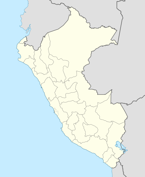
Ccarhuarazo (Ayacucho)
For the mountain in the Huancavelica Region, Peru, see Ccarhuarazo (Huancavelica).
| Ccarhuarazo | |
|---|---|
 | |
| Highest point | |
| Elevation | 5,112 m (16,772 ft) |
| Coordinates | 14°19′55″S 73°45′25″W / 14.33194°S 73.75694°WCoordinates: 14°19′55″S 73°45′25″W / 14.33194°S 73.75694°W |
| Geography | |
 Ccarhuarazo Peru | |
| Location | Peru, Ayacucho Region |
| Parent range | Andes |
Ccarhuarazo or Qarwarasu (Quechua, qarwa leaf worm; larva of a beetle; pale, yellowish, golden,[1] Ancash Quechua rasu snow, ice, mountain with snow,[2] hispanicized spellings Carhuaraso, Carhuarasu, Carhuarazo, Ccarhuaraso, Ccarhuarasu, Ccarhuarazo, Qarwarazo) is a volcano[3][4] in the Andes of Peru, about 5,112 m (16,772 ft) high. It is located in the Ayacucho Region, Lucanas Province, Chipao District as well as in the Sucre Province, Soras District.[5]
References
- ↑ Diccionario Quechua - Español - Quechua, Academía Mayor de la Lengua Quechua, Gobierno Regional Cusco, Cusco 2005 (Quechua_Spanish dictionary)
- ↑ babylon.com
- ↑ ign.gob.pe IGN, Peru
- ↑ uni-geochem.gwdg.de Archived July 17, 2014, at the Wayback Machine.
- ↑ escale.minedu.gob.pe - UGEL Map of the Sucre Province (Ayacucho Region)
This article is issued from Wikipedia - version of the 11/14/2016. The text is available under the Creative Commons Attribution/Share Alike but additional terms may apply for the media files.