Castra of Titești
| Castra of Titești | |
|---|---|
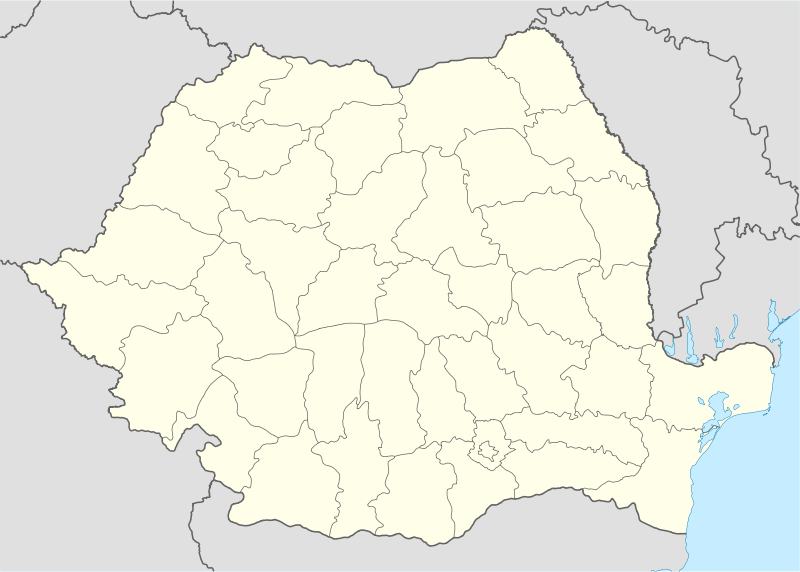 Location within Romania | |
| Founded | 2nd century AD |
| Place in the Roman world | |
| Province | Dacia |
| Administrative unit | Dacia Apulensis |
| Administrative unit | Dacia Superior |
| Limes | Alutanus |
| Directly connected to | Arutela |
| Structure | |
| — Stone structure — | |
| Size and area | 56 m x 48 m (0.26 [1] ha) |
| Location | |
| Coordinates | 45°25′09″N 24°23′27″E / 45.4192°N 24.3908°E |
| Place name | Cazanului Hill |
| Town | Titești |
| County | Vâlcea |
| Country |
|
| Reference | |
| RO-LMI | VL-I-s-A-09587 |
| RO-RAN | 172260.01 |
| Site notes | |
| Recognition |
|
| Condition | Ruined |
| Excavation dates | 1893 [2] |
| Archaeologists | Pamfil Polonic [2] |
It was a fort in the Roman province of Dacia.
See also
External links
Notes
- ↑ TRUPE FARA CASTRE, CASTRE FARA TRUPE ÎN DACIA, Dan Matei
- 1 2 "Manuscrisele lui Pamfil Polonic". cimec.ro. Retrieved 15 December 2012.
Coordinates: 45°25′N 24°23′E / 45.417°N 24.383°E
This article is issued from Wikipedia - version of the 11/8/2016. The text is available under the Creative Commons Attribution/Share Alike but additional terms may apply for the media files.