Carpenter Creek
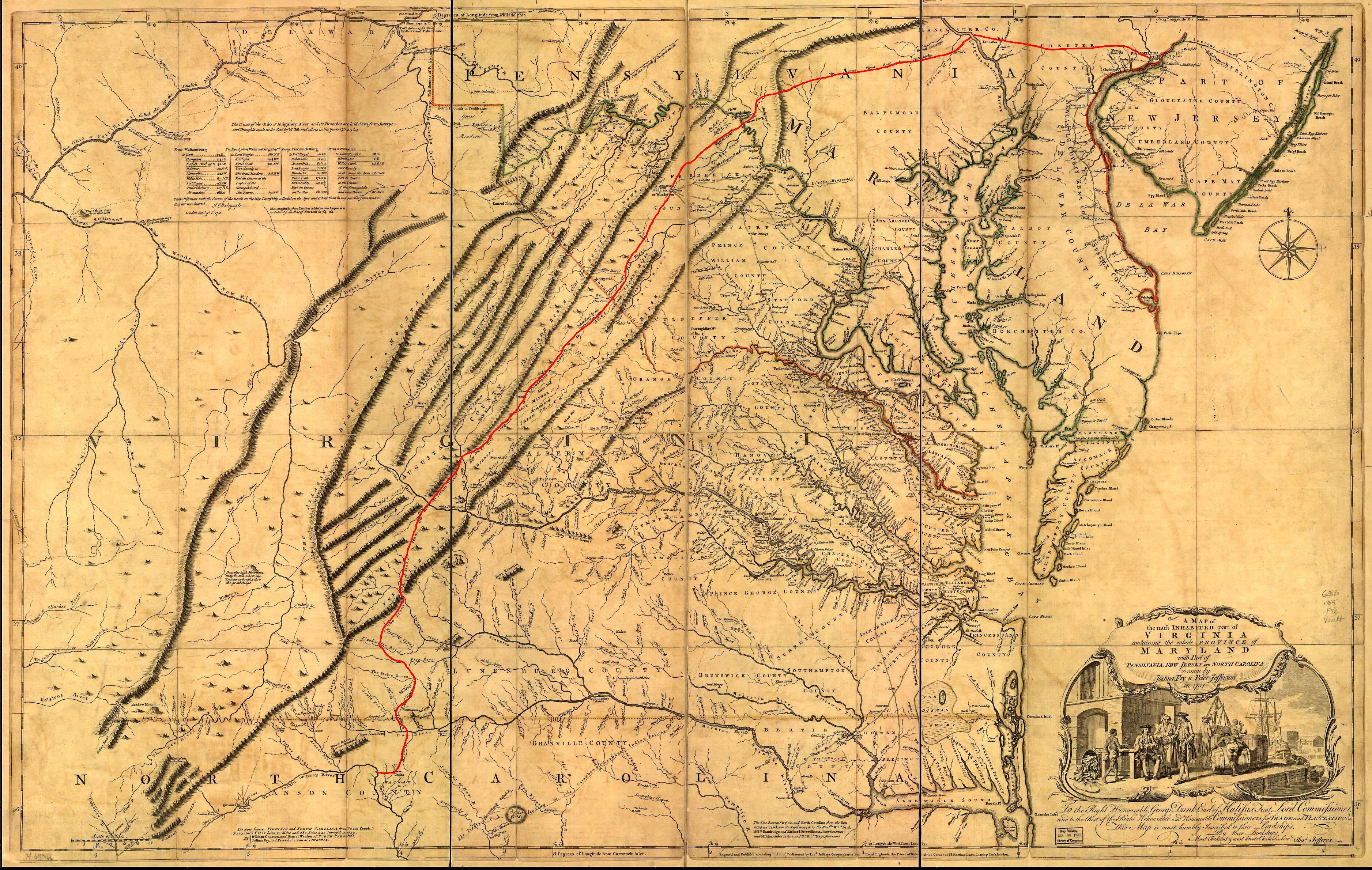
Carpenter Creek in western Virginia, now known as Potts Creek, was shown on a map of the area drawn by Joshua Fry and Peter Jefferson in 1751 and printed in 1755, and so called in the text of Thomas Jefferson's "Notes on the State of Virginia" that he prepared in the 1780s.[2] Carpenter's Creek is also shown as such on John Ballendine's map of the James River published c1772 and Thomas Hutchins' map of the western regions of Virginia published in 1778.[3]
The creek later acquired the name Potts Creek from a settler who lived further up the valley at the headwaters of the creek on Potts Mountain.[4] The Carpenter name persisted in occasional use through at least 1784, when in a report to George Washington it was confused with Dunlap's Creek,[5] and a grant was identified as located on Carpenter's "River" on July 1, 1793, but the name Potts Creek was in common use by the late 1790s.[6] Carpenter's Creek received its name from Joseph Carpenter, who on June 1, 1750 received a patent from the British Crown for 782 acres (3.16 km2) of land on the south side of the Big Bend of Jackson's River (Jackson River (Virginia)) where the creek flows into the river.[7]
See also
Notes and references
- ↑ Joshua Fry and Peter Jefferson: A map of the most inhabited part of Virginia containing the whole province of Maryland with part of Pensilvania, New Jersey and North Carolina. Drawn by Joshua Fry & Peter Jefferson in 1751, published by Thos. Jefferys, London, 1755
- ↑ Thomas Jefferson: Notes on the State of Virginia, first published in 1853 by J. W. Randolph, Richmond, Va., reprinted in revised form in 1861 by H. W. Derby, New York, N.Y., as part of Vol. VIII of The Writings of Thomas Jefferson, H. A. Washington, ed.
- ↑ The Library of Congress: West Virginia, The Centennial of Statehood, 1863-1963, An Exhibition of the Library of Congress, Superintendent of Documents, Washington, D.C., 1964, pp. 45-46, 68-69
- ↑ Raus McDill Hanson: Virginia Place Names, Derivations, Historical Uses, McClure Press, Verona, Va., 1969, p. 30.
- ↑ Archer Butler Hulbert: Washington and the West, The Century Co., New York, N.Y., 1905, p. 76.
- ↑ Larry G. Schuck: Hampshire and Hardy Counties (W) Va. Abstracts, Closson Press, Apollo, Pa., 1996; Oren F. Morton: A Centennial History of Allegheny County, Virginia, J. K. Ruebush Co., Dayton, Va., 1923, p. 88; and Terry L. Carpenter: "Carpenter's Creek, Old Augusta County, Virginia," in The Carpenter Chronicles, Bette Butcher Topp, ed., Vol. 7 (April 1991), pp. 11-12.
- ↑ Magazine of Virginia Genealogy, Vol. 30, No. 3 (August 1992), p. 204.
Coordinates: 37°45′12″N 79°59′52″W / 37.7532°N 79.9977°W