Carnot Airport
| Carnot Airport | |||||||||||
|---|---|---|---|---|---|---|---|---|---|---|---|
| IATA: CRF – ICAO: FEFC | |||||||||||
| Summary | |||||||||||
| Airport type | Public | ||||||||||
| Owner | Government | ||||||||||
| Location | Carnot, CAR | ||||||||||
| Elevation AMSL | 1,985 ft / 605 m | ||||||||||
| Coordinates | 04°56′N 015°54′E / 4.933°N 15.900°ECoordinates: 04°56′N 015°54′E / 4.933°N 15.900°E | ||||||||||
| Map | |||||||||||
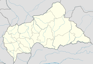 FEFC Location of Carnot Airport in the Central African Republic | |||||||||||
| Runways | |||||||||||
| |||||||||||
Carnot Airport (IATA: CRF[3], ICAO: FEFC[4]) is an airport in Carnot, Central African Republic.
See also
References
- ↑ Airport record for Carnot Airport at Landings.com. Retrieved 2013-08-25
- ↑ Google (2013-08-25). "location of Carnot Airport" (Map). Google Maps. Google. Retrieved 2013-08-25.
- ↑ Accident history for CRF at Aviation Safety Network
- ↑ Airport information for FEFC at Great Circle Mapper.
External links
- Airport record for Carnot Airport at Landings.com
This article is issued from Wikipedia - version of the 11/8/2016. The text is available under the Creative Commons Attribution/Share Alike but additional terms may apply for the media files.