Cape Zhelaniya
| Cape Zhelaniya | |
|---|---|
| Мыс Желания | |
|
Location of Cape Zhelaniya | |
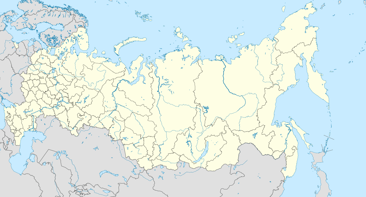 | |
| Location |
Arkhangelsk Oblast, |
| Coordinates | 76°57′16.08″N 68°34′54.41″E / 76.9544667°N 68.5817806°ECoordinates: 76°57′16.08″N 68°34′54.41″E / 76.9544667°N 68.5817806°E |
| Offshore water bodies | Barents Sea / Kara Sea |
| Area | Russian Far North |

Cape Zhelaniya (Russian: Мыс Желания; Mys Zhelaniya; Желание being Russian for 'wish'), is a headland in the Russian Federation. It is an important geographical landmark. The area in the vicinity of the cape is a desolate place, exposed to bitter Arctic winters.
Geography
Cape Zhelaniya is located at the northern end of Severny Island, the northern island of Novaya Zemlya. This headland is a geographic point of reference to mark the separation between the northern ends of the Barents Sea and the Kara Sea.[1]
It belongs administratively to the Arkhangelsk Oblast of the Russian Federation.
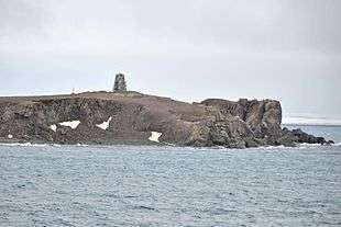 View of Cape Zhelaniya |
 Cape Zhelaniya weather station |
History
There was a Soviet Arctic station in Cape Zhelaniya in World War II which was shelled by the Kriegsmarine during Operation Wunderland.[2]
It became a secret experimental station during the Cold War while a multitude of nuclear tests, including 88 atmospheric ones, were conducted in Novaya Zemlya. It functioned as a weather station until 1994, and since 2005 there has been an automatic meteorological station located here.[3][4]
References
- ↑ "Mys Zhelaniya". Mapcarta. Retrieved 23 September 2016.
- ↑ Attack at Cape Zhelaniya
- ↑ Climatic data
- ↑ Weather station
Literature
- F. Romanenko, O. Shilovtseva, Russian-Soviet polar stations and their role in the Arctic Seas exploration.
- History of the Northern Sea Route
- Geology