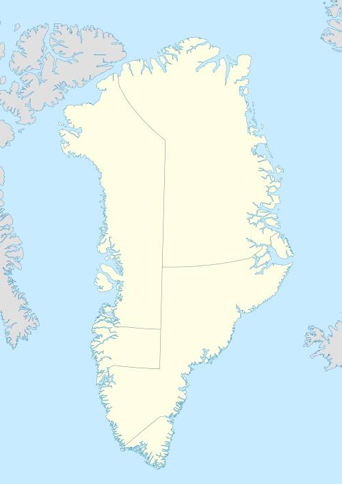
Cape York (Greenland)
| Cape York | |
|---|---|
 | |
| Location | Qaasuitsup, Greenland |
| Coordinates | 75°54′38.3″N 66°24′44.6″W / 75.910639°N 66.412389°WCoordinates: 75°54′38.3″N 66°24′44.6″W / 75.910639°N 66.412389°W |
| Offshore water bodies | Baffin Bay |
| Area | Arctic |
Cape York is a cape on the northwestern coast of Greenland, in northern Baffin Bay.
Geography
Cape York is an important geographical landmark that delimits the northwestern end of Melville Bay, with the other end commonly defined as Wilcox Head, the western promontory on Kiatassuaq Island.[1]
A chain of small coastal islands stretches between Cape York and Cape Melville to the east, the largest of which is Meteorite Island.[2] The cape is located 37 km (23 mi) west-south-west of the Savissivik settlement on Meteorite Island.
History
The cape was the one of many places visited in 1894 by Admiral Robert Peary during his second expedition to the Arctic. The area of Cape York was the site of discovery of the Cape York Meteorite. In the Greenlandic language, the name of the settlement Savissivik on the island close to the cape means 'place of meteorite iron' (savik = iron/knife),[3] alluding to the numerous meteorites from 10,000 years ago that have been found in the area.[4] The meteorite is estimated to have weighed 100 tonnes before it exploded.[4] The iron from the meteorite attracted migrating Inuit from Arctic Canada.[4]
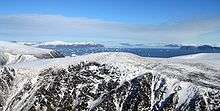
Photographs
-

Icebergs around Cape York
-

Cape York
-
Robert Peary monument seen from a helicopter
-

Robert Peary monument at Cape York

See also
References
- ↑ Upernavik Avannarleq, Saga Map, Tage Schjøtt, 1992
- ↑ 1:1,000,000 scale Operational Navigation Chart, Sheet B-8, 3rd edition
- ↑ quarkexpeditions.com
- 1 2 3 "Lured by iron meteorite". Suluk. Air Greenland. 4: 6. 2010.