Campo Ma'an National Park
| Campo Ma'an National Park | |
|---|---|
|
IUCN category II (national park) | |
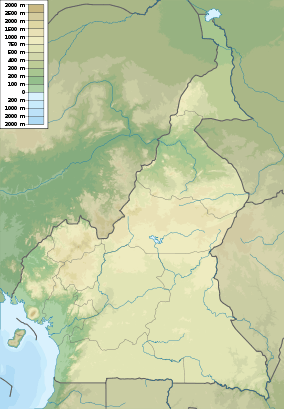 | |
| Location | Cameroon |
| Coordinates | 2°21′N 9°59′E / 2.350°N 9.983°ECoordinates: 2°21′N 9°59′E / 2.350°N 9.983°E |
| Area | 26.4 km2 (10 sq mi) |
_from_behind%2C_Campo_Maan_National_Park.jpg)
A Peters's Duiker antelope
Campo Ma'an National Park is a 264,064 hectare[1] national park of Cameroon. The combined area for the national park and the buffer zone surrounding the park is approximately 700,000 hectares.[1]
References
- 1 2 Campo-Ma’an National Park, Cameroon from WWF. Accessed December 2009.
This article is issued from Wikipedia - version of the 11/19/2016. The text is available under the Creative Commons Attribution/Share Alike but additional terms may apply for the media files.