Camopi
| Camopi | |
|---|---|
|
Entrance to the neighborhood legion of Camopi, of the 3rd REI | |
 Location of the commune (in red) within French Guiana | |
| Coordinates: 3°09′56″N 52°20′28″W / 3.1655°N 52.3411°WCoordinates: 3°09′56″N 52°20′28″W / 3.1655°N 52.3411°W | |
| Country | France |
| Overseas region and department | French Guiana |
| Arrondissement | Cayenne |
| Intercommunality | Est Guyanais |
| Government | |
| • Mayor (2014-2020) | René Monerville |
| Area1 | 10,030 km2 (3,870 sq mi) |
| Population (2012)2 | 1,665 |
| • Density | 0.17/km2 (0.43/sq mi) |
| INSEE/Postal code | 97356 / 97330 |
|
1 French Land Register data, which excludes lakes, ponds, glaciers > 1 km² (0.386 sq mi or 247 acres) and river estuaries. 2 Population without double counting: residents of multiple communes (e.g., students and military personnel) only counted once. | |
Camopi is a commune of French Guiana, an overseas region and department of France located in South America.
Geography
With a land area of 10,030 km2 (3,870 sq mi), it is the third-largest commune of France.
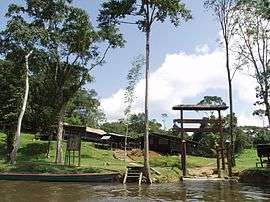
The village of Camopi, seat of the commune, lies close to the border with Brazil, near the junction of the Oyapock and Camopi Rivers.
See also
References
| Wikimedia Commons has media related to Camopi. |
This article is issued from Wikipedia - version of the 2/5/2015. The text is available under the Creative Commons Attribution/Share Alike but additional terms may apply for the media files.