Buyo Dam
| Buyo Dam | |
|---|---|
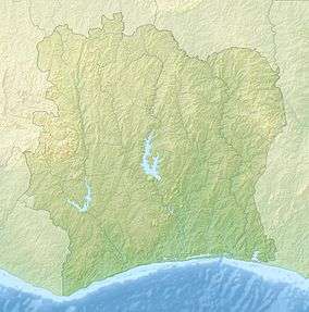 Location of Buyo Dam in Ivory Coast | |
| Country | Ivory Coast |
| Coordinates | 6°14′28.50″N 7°02′00.32″W / 6.2412500°N 7.0334222°WCoordinates: 6°14′28.50″N 7°02′00.32″W / 6.2412500°N 7.0334222°W |
| Purpose | Power |
| Status | Operational |
| Opening date | 1980 |
| Owner(s) | Ministry of Economy |
| Dam and spillways | |
| Type of dam | Embankment, earth and rock-fill |
| Impounds | Sassandra River |
| Height | 37 m (121 ft) |
| Length | 3,615 m (11,860 ft) |
| Reservoir | |
| Creates | Lake Buyo |
| Total capacity | 8,300×106 m3 (6,700,000 acre·ft) |
| Catchment area | 46,000 km2 (18,000 sq mi) |
| Surface area | 89.5 km2 (34.6 sq mi) |
| Power station | |
| Commission date | 1980-1981 |
| Turbines | 3 × 55 MW (74,000 hp) Kaplan-type |
| Installed capacity | 165 MW (221,000 hp) |
The Buyo Dam is an embankment dam on the Sassandra River in the Bas-Sassandra district of Côte d'Ivoire. Completed in 1980,[1] it has a hydroelectric power station with an installed capacity of 165 megawatts (221,000 hp), enough to power over 111,000 homes.[2][3][4]
References
- ↑ http://www.country-data.com/cgi-bin/query/r-6974.html
- ↑ "Electrical Power in Côte d'Ivoire". www.mbendi.com. 2008-07-25. Retrieved 2009-08-01.
- ↑ "Dams in Africa". UN FAO. Retrieved 18 March 2014.
- ↑ "Buyo Hydroelectric Power Plant Cote dIvoire". Global Energy Observatory. Retrieved 18 March 2014.
This article is issued from Wikipedia - version of the 3/17/2016. The text is available under the Creative Commons Attribution/Share Alike but additional terms may apply for the media files.