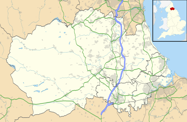
Butterknowle
| Butterknowle | |
 Entering Butterknowle from the east |
|
 Butterknowle |
|
| OS grid reference | NZ108852 |
|---|---|
| Shire county | County Durham |
| Region | North East |
| Country | England |
| Sovereign state | United Kingdom |
| Police | Durham |
| Fire | County Durham and Darlington |
| Ambulance | North East |
| EU Parliament | North East England |
|
|
Coordinates: 54°37′37″N 1°50′18″W / 54.6269°N 1.8383°W
Butterknowle is a village in Teesdale, County Durham, England.[1][2] Butterknowle is situated between the market towns of Bishop Auckland (9 miles to the east) and Barnard Castle (6 miles to the south-west). It has an attractive rural setting within the Gaunless Valley, overlooked by the gorse-covered Cockfield Fell. The fell itself is a scheduled ancient monument, containing evidence of Roman settlements and a medieval coal mine (Vavasours), thought to be the earliest inland colliery recorded.
The village of Butterknowle has a Primary School, Medical Practice, Village Hall, Royal Oak and Diamond Inn public houses, Post Office (closed in 1999, but reopened at the rear of the Diamond Inn premises in 2001) and Agricultural Supplies Merchant. The Church of St John the Evangelist is to be found in the neighbouring hamlet of Lynesack, about half a mile away, which is also home to a contemporary landscape photography studio and art gallery.
There are many public footpaths, both in the immediate area and surrounding countryside of Teesdale and nearby Weardale, making this a popular destination for walkers. Butterknowle is also home to the Gaunless Valley Visitor Centre, where can be found a wealth of information regarding the area's 600-year-old mining and agricultural heritage, along with details of local walks and places of interest.
Raby Castle, 14th-century family seat of the Nevills and now home to the 11th Lord Barnard sits approximately 4 miles to the south, whilst travelling 4 miles to the north brings you to Hamsterley Forest, offering woodland and riverside walking, mountain-biking and horse-riding. High Force, one of England's highest and most spectacular single-drop waterfalls, is located a short drive away in Upper Teesdale.
References
- ↑ Ordnance Survey: Landranger map sheet 92 Barnard Castle & Richmond (Teesdale) (Map). Ordnance Survey. 2011. ISBN 9780319228982.
- ↑ "Ordnance Survey: 1:50,000 Scale Gazetteer" (csv (download)). www.ordnancesurvey.co.uk. Ordnance Survey. 1 January 2016. Retrieved 30 January 2016.
| Wikimedia Commons has media related to Butterknowle. |