Buriram Airport
| Buriram Airport Buri Ram Airport ท่าอากาศยานบุรีรัมย์ | |||||||||||
|---|---|---|---|---|---|---|---|---|---|---|---|
| IATA: BFV – ICAO: VTUO | |||||||||||
| Summary | |||||||||||
| Airport type | Public | ||||||||||
| Operator | Department of Airports | ||||||||||
| Serves | Buriram | ||||||||||
| Location | 143 Mu 12 Tambon Ron Thong, Amphoe Satuek, Buriram, Thailand | ||||||||||
| Elevation AMSL | 590 ft / 180 m | ||||||||||
| Coordinates | 15°13′46″N 103°15′04″E / 15.22944°N 103.25111°ECoordinates: 15°13′46″N 103°15′04″E / 15.22944°N 103.25111°E | ||||||||||
| Map | |||||||||||
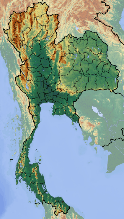 BFV Location of airport in Thailand | |||||||||||
| Runways | |||||||||||
| |||||||||||
Buriram Airport[1] (also known as Buri Ram Airport,[2] Thai: ท่าอากาศยานบุรีรัมย์) (IATA: BFV, ICAO: VTUO), is an airport serving Buriram (also known as Buri Ram), the capital of Buriram Province in Thailand.
Facilities
The airport is at an elevation of 180 metres (591 ft) above mean sea level. It has one runway designated 04/22 with an asphalt surface measuring 2,100 by 45 metres (6,890 ft × 148 ft).[2]
Airlines and destinations
| Airlines | Destinations | Route |
|---|---|---|
| Nok Air | Bangkok-Don Mueang | Domestic |
| Thai AirAsia | Bangkok-Don Mueang | Domestic |
References
- 1 2 "Buriram Airport". Thai Flying Club. Retrieved 20 Aug 2012.
- 1 2 3 "VTUO – BURI RAM" (PDF). AIP Thailand. Retrieved 20 Aug 2012. External link in
|publisher=(help) - ↑ Airport information for VTUO from DAFIF (effective October 2006)
- ↑ Airport information for BFV at Great Circle Mapper. Source: DAFIF (effective October 2006).
External links
 Buriram travel guide from Wikivoyage
- Air Asia
- Nok Air
- Current weather for VTUO at NOAA/NWS
- Accident history for BFV at Aviation Safety Network
This article is issued from Wikipedia - version of the 12/4/2016. The text is available under the Creative Commons Attribution/Share Alike but additional terms may apply for the media files.