Bugesera International Airport
| Bugesera International Airport | |||||||||||
|---|---|---|---|---|---|---|---|---|---|---|---|
| IATA: none – ICAO: none | |||||||||||
| Summary | |||||||||||
| Airport type | Public, Civilian | ||||||||||
| Owner | Rwanda Civil Aviation Authority | ||||||||||
| Serves | Kigali, Rwanda | ||||||||||
| Location |
Kigali, | ||||||||||
| Elevation AMSL | 4,600 ft / 1,400 m | ||||||||||
| Coordinates | 02°13′22″S 30°08′55″E / 2.22278°S 30.14861°ECoordinates: 02°13′22″S 30°08′55″E / 2.22278°S 30.14861°E | ||||||||||
| Map | |||||||||||
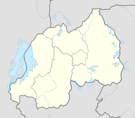 Bugesera Approximate location within Rwanda | |||||||||||
| Runways | |||||||||||
| |||||||||||
Bugesera International Airport (IATA: n/a, ICAO: n/a) is a planned airport to be constructed in Rwanda.[1]
Location
Bugesera Airport will be located in southeastern Rwanda, in Bugesera District, near the town of Nyamata. This location is approximately 20 kilometres (12 mi), by air, and about 40 kilometres (25 mi), by road, south of Kigali International Airport, currently the largest civilian airport in the country.[2] The approximate coordinates of Bugesera International Airport are: 02°13'22.0"S, 30°08'55.0"E (Latitude:-2.222769; Longitude:30.148601).[3] Bugesera International Airport will be situated at an altitude of 1,400 metres (4,600 ft) above sea level.
Overview
Bugesera International Airport will become Rwanda's largest International Airport, serving commercial flights destined to and from the greater Kigali metropolitan area.[4] When completed, it will become Rwanda's third International Airport, and the country's 8th airport overall. It will complement Kigali International Airport, which is now operating at maximum capacity.[4]
The airport will initially have a single paved runway. During the second phase of construction, a second runway will be added. The estimated cost for Phase I is US$418 million, while Phase II is budgeted to cost US$382 million, for a total of US$800 million. It is anticipated that Phase I will be completed in 2018.[5] The British engineering firm, TPS Consult Plc., to carry out a feasibility study and design the new airport. According to the TPS report, the new airport would be able to handle one million passengers and 150 million tonnes of cargo annually during its first phase. Subsequent phases will follow with higher passenger and cargo capacities. In November 2010, press reports indicated that the Rwanda government had retained the International accounting firm Pricewaterhousecoopers, to provide financial advice and lead the search for funding of the project. The government wants to develop Bugesera Airport as a Public-Private Partnership (PPP) project.[6]
Construction
In September 2016, the government of Rwanda signed a binding agreement with Mota-Engil of Portugal to fund, build and operate the new airport for 25 years under concession from the government, with the contract renewable for an additional 15 years. Mota-Engil agreed to provide the $418 million to fund the first phase of construction. Commercial operations are expected to begin in 2018.[5]
See also
References
- ↑ Habimana, Seraphine (16 July 2014). "Rwanda: Bugesera Airport Project To Start After Families' Pay-Off". New Times (Rwanda) via AllAfrica.com. Kigali. Retrieved 7 September 2016.
- ↑ Globefeed.com (7 September 2016). "Distance between Kigali International Airport, KN 5 Road, Kigali, Rwanda and Urwego Opportunity Bank, Nyamata, Eastern Province, Rwanda". Globefeed.com. Retrieved 7 September 2016.
- ↑ Google (7 September 2016). "Planned Location of Bugesera International Airport" (Map). Google Maps. Google. Retrieved 7 September 2016.
- 1 2 EXPOGR (13 August 2014). "New Bugesera International Airport, Rwanda Among Projects That Need US$1 Billion". Expogr.Com (EXPOGR) Quoting Construction Review Online. Retrieved 29 November 2014.
- 1 2 Ivan R. Mugisha (2 September 2016). "Rwanda inks $418m deal with Portuguese firm for Bugesera airport". The East African. Nairobi. Retrieved 7 September 2016.
- ↑ The Independent Reporter (23 November 2010). "New Bugesera International Airport Could Change Rwanda". The Independent (Uganda). Kampala. Retrieved 30 November 2014.