Buba
| Buba | |
|---|---|
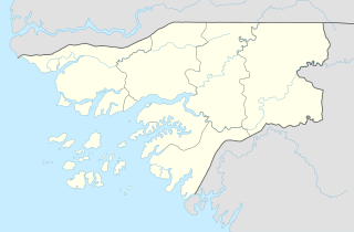 Buba Location in Guinea-Bissau | |
| Coordinates: 11°35′24″N 14°59′24″W / 11.59000°N 14.99000°W | |
| Country |
|
| Region | Quinara Region |
| Elevation | 3 m (10 ft) |
| Population (2012) | |
| • Total | 8,556 |
Buba is the largest city in southern Guinea-Bissau, lying on the Rio Grande de Buba, near the Contanhez National Park. It has a population 6,815 (2008 est).[1]
During his presidency, former President of Guinea-Bissau Kumba Yala planned to move the capital city to Buba.[2] Those plans have been dropped since he was deposed in a coup d'état. Construction is under way for a deepwater port that could host three 70-tonne vessels at any given time. It is being built by Angola Bauxite in order to export bauxite.[3]
The Portuguese constructed an army camp in Buba, which, shortly after independence, was used as the headquarters for a Dutch Foreign Aid Project aimed at providing the villages of Quinara and Tombali with safe drinking water. The construction of a plywood factory through Swedish Foreign Aid in 1982 boosted the economy and growth of Buba, as it installed a steam engine which produced enough electricity to supply the whole town.
References
- ↑ "Archived copy". Archived from the original on 2008-10-05. Retrieved 2008-06-16.
- ↑ http://news.bbc.co.uk/2/hi/africa/2970627.stm
- ↑ http://www.reuters.com/article/2012/08/23/bissau-angola-bauxite-idUSL6E8JNHFM20120823
Coordinates: 11°35′N 15°00′W / 11.583°N 15.000°W