Bregana
| Bregana | |
|---|---|
| Naselje | |
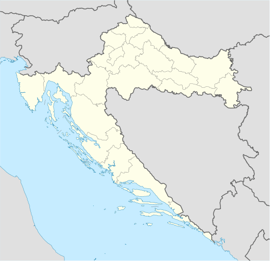 Bregana Location of Bregana in Croatia | |
| Coordinates: 45°50′18″N 15°41′17″E / 45.83833°N 15.68806°ECoordinates: 45°50′18″N 15°41′17″E / 45.83833°N 15.68806°E | |
| Country | Croatia |
| County | Zagreb County |
| Town | Samobor |
| Area[1] | |
| • Settlement | 2.81 km2 (1.08 sq mi) |
| • Metro | 5.60 km2 (2.16 sq mi) |
| Population (2001)[2] | |
| • Settlement | 2,528 |
| • Density | 900/km2 (2,300/sq mi) |
| • Metro | 3,450 |
| • Metro density | 620/km2 (1,600/sq mi) |
| Time zone | CET (UTC+1) |
| • Summer (DST) | CEST (UTC+2) |
| Postal code | 10432 |
| Area code | +385-1 |
| License plates | ZG |
Bregana (pronounced [brɛɡǎna]) (German: Bergana)[3] is a settlement (naselje) in the Town of Samobor, Zagreb County, Croatia. According to the 2001 census, the town has 2,518 residents[2] living in an area of 2.81 square kilometers (1.08 sq mi).[1] Together with the nearby settlements of Podvrh and Klokočevec Samoborski, the town's micropolitan area has 3,450 inhabitants.[2]
Together with Macelj and Rupa, Bregana is the main Croatian border crossing with Slovenia. The checkpoint on the Slovenian side of the border is located in a small village called Obrežje. It is the start of the A3 highway which goes to Zagreb and on to Lipovac at the Serbian border in the east. The highway connects to Slovenia's A2 highway, which leads to Ljubljana. There is also a minor border crossing in the town itself, a two-lane road crossing between Bregana and Slovenska vas. A railway crossing between the two countries is located in Harmica near Savski Marof in Brdovec municipality.
References
- 1 2 "Prostorno razvojne i resursne značajke: Naselja". Zagreb County Spatial Plan (in Croatian). Archived from the original on 2007-06-11. Retrieved 2009-01-06.
- 1 2 3 "Population by sex and age, by settlements, census 2001 (Samobor)". Republic of Croatia Bureau of Statistics. Retrieved 2008-01-06.
- ↑ Leksikon občin kraljestev in dežel zastopanih v državnem zboru, vol. 6: Kranjsko. 1906. Vienna: C. Kr. Dvorna in Državna Tiskarna, p. 68. (Slovene)