Brec de Chambeyron
| Brec de Chambeyron | |
|---|---|
 Brec de Chambeyron | |
| Highest point | |
| Elevation | 3,389 m (11,119 ft) |
| Prominence | 462 m (1,516 ft) [1] |
| Coordinates | 44°31′41″N 6°51′12″E / 44.52806°N 6.85333°ECoordinates: 44°31′41″N 6°51′12″E / 44.52806°N 6.85333°E [1] |
| Geography | |
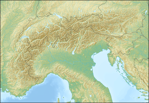 Brec de Chambeyron Location in the Alps | |
| Location | Provence-Alpes-Côte d'Azur, France and Piedmont, Italy |
| Parent range | Cottian Alps |
| Climbing | |
| First ascent | 1878 |
Brec de Chambeyron (3,389) is a mountain of the Cottian Alps on the border between France and Italy. It is the second highest summit of the Chambeyron Massif, after Aiguille de Chambeyron and its sharp, rocky peak dominates the Upper Ubaye Valley. The word "Brec" or "Bric" in French is used for a mountain resembling a rocky tooth. It was first climbed in 1878 by Paul Agnel and Joseph Risoul.[2]
References
- 1 2 "Brec Chambeyron, France/Italy". Peakbagger.com. Retrieved 2 February 2015.
- ↑ "Brec-de-Chambeyron - Summitpost". Summitpost.org. Retrieved 2 February 2015.
This article is issued from Wikipedia - version of the 12/6/2015. The text is available under the Creative Commons Attribution/Share Alike but additional terms may apply for the media files.