Brandon Hill
| Brandon Hill | |
|---|---|
| Cnoc Bhréanail | |
 Brandon Hill from the northwest | |
| Highest point | |
| Elevation | 515 m (1,690 ft) [1] |
| Prominence | 450[1] |
| Listing | Marilyn |
| Coordinates | 52°30′35″N 6°58′27″W / 52.509704°N 6.974251°W |
| Geography | |
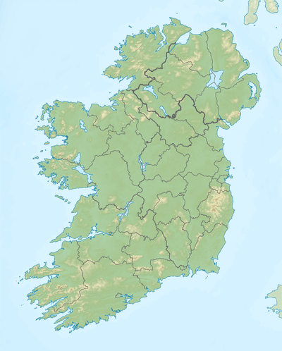 Brandon Hill Location in Ireland | |
| Location | Kilkenny, Republic of Ireland |
| OSI/OSNI grid | S697402 |
| Topo map | OSi Discovery 68 |
Brandon Hill (Irish: Cnoc Bhréanail) is the highest mountain in County Kilkenny, Ireland. It has an elevation of 515 m (1,690 ft). It is situated 4 kilometres South-South West of Graiguenamanagh, 7 kilometres east of Inistioge and 11 kilometres east of Thomastown, in the south of County Kilkenny.[2] Brandon Hill is in the barony of Gowran and in the province of Leinster.[3] The village of Graiguenamanagh is at the base of the hill.

It is the termination of the chain of granitic mountains that raise from the shores of Dublin bay.[4] The base of Brandon Hill on the side of the River Barrow and the hill running to Graigue is composed of schist rock.[5] This blackish siliceous schistus, sometimes containing grains of quartz and when it is broken it has a shivery texture and is hard enough to scratch glass.[6] There are a few beds of marble and limestone gravel near the foot of the mountain.[7]
Evidence regarding the early settlement of the Brandon Hill upplands came to light as a result of a ground and aerial survey directed by Michael Gibbons, archaeologist with the Board of Works,in 1989. The survey indicated that the slopes of Brandon were settled in excess of four thousand years ago and that the cairns, house sites, field systems and a large ritual enclosure identified on its slopes are part of the prehistoric remains there. Two Norman moated sites, with long rectangular buildings attached - probably granges or farms attached to Duiske Abbey and thought to be about 600 years old - were also identified on the lower slopes in the Ballyogan townland area during the survey.
See also
References
- 1 2 "Brandon Hill - Cnoc Bhréanail". MountainViews. Ordnance Survey Ireland. Retrieved January 23, 2016.
- ↑ (Gazetteer 1822, p. 591)
- ↑ (Seward 1795, p. 105)
- ↑ (Wright 1834, p. 129)
- ↑ (Wakefield 1812, p. 122)
- ↑ (Lewis 1837, p. 105)
- ↑ (encyclopaedia 1830, p. 453)
Further reading
- Gazetteer (1822), The Edinburgh Gazetteer, or Geographical Dictionary: Containing the Various Countries, Kingdoms, States, Cities, Towns, Mountains, &c. Of the World., Volume I., Edinburgh: Longman, Hurst, Rees, Orme, and brown, and Hurst, Robinson, and Co. London.
- Wakefield, Edward (1812), An account of Ireland, statistical and political, London: Longman, Hurst, Rees, Orme, and Brown, ISBN 978-1-116-11699-1
- Lewis, Samuel (1837), A topographical dictionary of Ireland : comprising the several counties; cities; boroughs; corporate, market and post towns; parishes; and villages, with historical and statistical descriptions embellished with engravings of the arms of the cities, bishopricks, corporate towns, and boroughs ; and of the seals of the several municipal corporations, London: Nabu Press, ISBN 978-1-247-35489-7.
- encyclopaedia, Edinburgh (1830), The Edinburgh encyclopaedia, conducted by D. Brewster, Volume VII., Edinburgh.
- Wright, George Newenham (1834), A new and comprehensive gazetteer, Volume II., Edinburgh.
- Seward, William Wenman (1795), Topographia Hibernica: Or the Topography of Ireland, Dublin, ISBN 1-4373-5407-6
.

Lists of Marilyns | |
|---|---|