Bradevelt, New Jersey
| Bradevelt, New Jersey | |
|---|---|
| Unincorporated community | |
|
Looking east along CR 520 | |
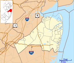 Bradevelt, New Jersey  Bradevelt, New Jersey  Bradevelt, New Jersey Bradevelt's location in Monmouth County (Inset: Monmouth County in New Jersey) | |
| Coordinates: 40°20′04″N 74°14′22″W / 40.33444°N 74.23944°WCoordinates: 40°20′04″N 74°14′22″W / 40.33444°N 74.23944°W | |
| Country |
|
| State |
|
| County | Monmouth |
| Township | Marlboro |
| Elevation | 161 ft (49 m) |
| ZIP code | 07746 |
| GNIS feature ID | 0874884[1] |

Bradevelt is an unincorporated community located within the Morganville section of Marlboro Township, in Monmouth County, New Jersey, United States.[2][3] County Route 520 travels through Bradevelt, while Route 79 is located west of the community. The area consists of a mix of businesses along the two main roads, farmland, and the remains of the Marlboro Psychiatric Hospital. The former Monmouth County Agricultural Railroad (a portion of which is now part of the Henry Hudson Trail) runs north and south through Bradevelt.[4]
References
- ↑ "Bradevelt". Geographic Names Information System. United States Geological Survey. Retrieved September 25, 2012.
- ↑ U.S. Geological Survey (1893). Bulletin of the United States Geological Survey, Volume 22. Retrieved July 15, 2011.
- ↑ Locality Search, State of New Jersey. Accessed February 17, 2015.
- ↑ Google (September 13, 2016). "Aerial view of Bradevelt" (Map). Google Maps. Google. Retrieved September 13, 2016.

This article is issued from Wikipedia - version of the 9/13/2016. The text is available under the Creative Commons Attribution/Share Alike but additional terms may apply for the media files.