Brøstadbotn
| Brøstadbotn | |
|---|---|
| Village | |
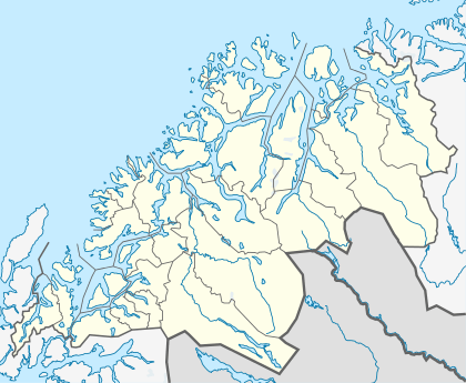 Brøstadbotn  Brøstadbotn Location in Troms | |
| Coordinates: 69°05′18″N 17°41′40″E / 69.08833°N 17.69444°ECoordinates: 69°05′18″N 17°41′40″E / 69.08833°N 17.69444°E | |
| Country | Norway |
| Region | Northern Norway |
| County | Troms |
| District | Midt-Troms |
| Municipality | Dyrøy |
| Elevation[1] | 10 m (30 ft) |
| Time zone | CET (UTC+01:00) |
| • Summer (DST) | CEST (UTC+02:00) |
| Post Code | 9311 Brøstadbotn |
Brøstadbotn is the administrative centre of the municipality of Dyrøy in Troms county, Norway. The village is located on the mainland of Norway, along the Dyrøysundet strait, looking across the strait at the island of Dyrøya to the southwest. The Dyrøy Bridge is located just west of the village. Brøstad Church is located in the village. One of the main industries for the village is an electronics factory.[2]
References
- ↑ "Brøstadbotn" (in Norwegian). yr.no. Retrieved 2012-10-24.
- ↑ Store norske leksikon. "Brøstadbotn" (in Norwegian). Retrieved 2012-10-26.
This article is issued from Wikipedia - version of the 8/5/2016. The text is available under the Creative Commons Attribution/Share Alike but additional terms may apply for the media files.