Bouïra
Coordinates: 36°22′48″N 3°54′5″E / 36.38000°N 3.90139°E
| Bouïra بويرة ⵜⵓⵯⵉⵔⵜⵙ | |
|---|---|
| City | |
|
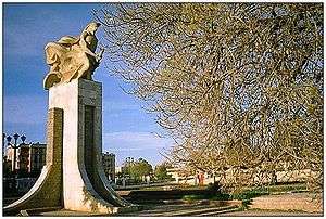
A memorial near the city seat | |
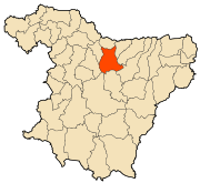 Location of the City within Bouïra province | |
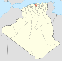
 Bouïra Location in Algeria | |
| Coordinates: 36°22′00″N 3°53′00″E / 36.36666°N 3.88333°E | |
| Country |
|
| Province | Bouïra Province |
| District | Bouïra District |
| Area | |
| • Total | 127.55 km2 (49.25 sq mi) |
| Elevation | 87 m (285 ft) |
| Population (2007) | |
| • Total | 307,987 |
| • Density | 2,400/km2 (6,300/sq mi) |
| Time zone | +1 (UTC+1) |
| Postal code | 07000 |
| Climate | Csa |
Bouïra (Berber: Tubirett) is the capital of Bouïra Province, Algeria.
Demographics
It has 75,086 inhabitants as of the 1998 census,[1] which gives it 15 seats in the PMA.
| Year | Population[2] |
|---|---|
| 1954 | 18,200 |
| 1966 | 16,600 |
| 1987 | 35,600 36,500 (municipality) |
| 1998 | 52,500 |
Geography
It is located in the geographical heart of the province. It borders the municipality of Ait Laziz in the north, Aïn Turk in the north-east (home to the largest aqueduct in Africa), Aïn El Hadjar in the east, El Hachimia in the south-east, Oued El Berdi in the south, El Asnam in the south-west, Haizer in the west, and Taghzourt in the north-west.
References
- ↑ http://www.joradp.dz/JO2000/2002/047/FP15.pdf
- ↑ "populstat.info". Archived from the original on 2016-03-03.
| Wikimedia Commons has media related to Bouira. |
This article is issued from Wikipedia - version of the 11/6/2016. The text is available under the Creative Commons Attribution/Share Alike but additional terms may apply for the media files.