Bosanska Otoka
| Bosanska Otoka | |
|---|---|
|
Bosanska Otoka with mosque at river Una | |
 Bosanska Otoka | |
| Coordinates: 44°57′36″N 16°10′45″E / 44.96000°N 16.17917°ECoordinates: 44°57′36″N 16°10′45″E / 44.96000°N 16.17917°E | |
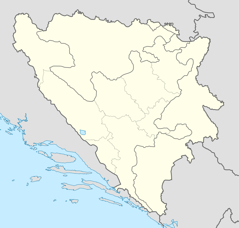
| Country |
|
| Time zone | CET (UTC+1) |
| • Summer (DST) | CEST (UTC+2) |

Bosanska Otoka or just Otoka is a town on the river Una in Bosnia and Herzegovina. It is part of the Bosanska Krupa municipality of Una-Sana Canton, in the Federation of Bosnia and Herzegovina.
The town was once known as Otok, the local word for island. It lies on the ancient Roman road connecting the Podunavlje region to the Adriatic Sea
Otoka is located 11 km north of Bosanska Krupa, 23 km from Bužim and 22 km southwest of Novi Grad (formerly Bosanski Novi). Otoka spans both banks of the River Una and includes 24 river islets. The right and left banks are connected by a steel bridge built in 1920.
This article is issued from Wikipedia - version of the 1/22/2016. The text is available under the Creative Commons Attribution/Share Alike but additional terms may apply for the media files.