Borj El Amri Airport
| Borj El Amri Airport مطار برج العامري Maṭār Burj el-‘Āmrī | |||||||||||
|---|---|---|---|---|---|---|---|---|---|---|---|
| IATA: N/A – ICAO: DTTI | |||||||||||
| Summary | |||||||||||
| Airport type | Public | ||||||||||
| Operator | Government of Tunisia | ||||||||||
| Serves | Borj El Amri | ||||||||||
| Elevation AMSL | 108 ft / 33 m | ||||||||||
| Coordinates | 36°43′16″N 09°56′35″E / 36.72111°N 9.94306°ECoordinates: 36°43′16″N 09°56′35″E / 36.72111°N 9.94306°E | ||||||||||
| Map | |||||||||||
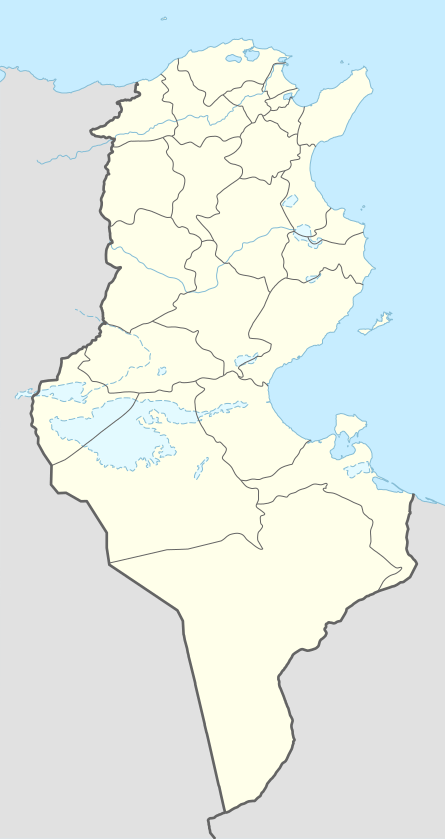 DTTE Location in Tunisia | |||||||||||
| Runways | |||||||||||
| |||||||||||
Borj El Amri Airport (ICAO: DTTI) is a small airport serving Borj El Amri, a city in the Manouba Governorate of Tunisia. The airport is located 23 kilometres (14 mi) southwest of Tunis and has a functional asphalt runway.
World War II
During World War II, the airport was known as Massicault Airfield and was used by the United States Army Air Forces Twelfth Air Force during the North African Campaign. Known units assigned were:[3]
- 2d Bombardment Group, 31 Jul-2 Dec 1943, B-17 Flying Fortress
- 320th Bombardment Group, 29 Jun-28 Jul 1943, B-26 Marauder
- 68th Reconnaissance Group, Oct-Nov 1943, F-4/F-5 Lightning
See also
References
- ↑ Airport information for DTTI at World Aero Data. Data current as of October 2006.Source: DAFIF.
- ↑ Airport information for DTTI at Great Circle Mapper. Source: DAFIF (effective October 2006).
- ↑ Maurer, Maurer. Air Force Combat Units of World War II. Maxwell AFB, Alabama: Office of Air Force History, 1983. ISBN 0-89201-092-4.
External links
.svg.png)
This article is issued from Wikipedia - version of the 12/4/2016. The text is available under the Creative Commons Attribution/Share Alike but additional terms may apply for the media files.