Bolyarino
| Bolyarino Болярино | |
|---|---|
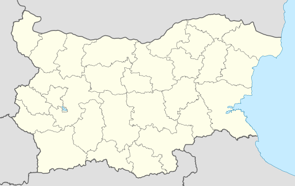 Bolyarino Location of Bolyarino in Bulgaria | |
| Coordinates: 42°13′58.8″N 25°03′0″E / 42.233000°N 25.05000°ECoordinates: 42°13′58.8″N 25°03′0″E / 42.233000°N 25.05000°E | |
| Country | Bulgaria |
| Province | Plovdiv |
| Municipality | Rakovski |
| Area | |
| • Total | 26,531 km2 (10,244 sq mi) |
| Elevation | 167 m (548 ft) |
| Population (Census December 2010) | |
| • Total | 434 |
| Time zone | EET (UTC+2) |
| • Summer (DST) | EEST (UTC+3) |
| Area code(s) | 03157 |
Bolyarino is a village in Southern Bulgaria. It is located in Rakovski Municipality, Plovdiv Province.
Geography
Bolyarino is located in Rakovski Municipality, Plovdiv Province on 35 km. east from Plovdiv. It lies between two elongated hills (height: 213 m). The soil in the northwest parts is sandy, as the rest is Chernozem.The elevation is 167 m.
Natural and cultural monuments
The forest situated between Shishmantsi and Bolyarino is declared as protected territory, in order to preserve the location of very rare birds, such as little egret, squacco heron, black-crowned night heron, glossy ibis.
Annual events
The village festival is on Dimitrovden – 26 October.
External links
Capital: Rakovski | |
| Villages |
|
| Landmarks | |
| Culture | |
| Notable people | |
This article is issued from Wikipedia - version of the 3/31/2015. The text is available under the Creative Commons Attribution/Share Alike but additional terms may apply for the media files.