Blue Lagoon National Park
| Blue Lagoon National Park | |
|---|---|
|
IUCN category II (national park) | |
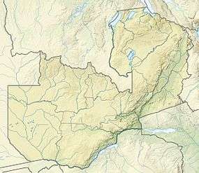 | |
| Location | Zambia |
| Nearest city | Lusaka |
| Coordinates | 15°27′S 27°22′E / 15.450°S 27.367°ECoordinates: 15°27′S 27°22′E / 15.450°S 27.367°E |
| Area | 500 km² |
| Established | 1976 |
| Governing body | Zambia Wildlife Authority |
Blue Lagoon National Park is a small wildlife haven in the northern part of the Kafue Flats in Zambia's Central Province. It covers about 500 km² and is very accessible, being about 100 km west of Lusaka (120 km by road).
Ecology and wildlife

The northern side of the park is in the Zambezian and Mopane woodlands ecoregion and the southern part on the flats is in the Zambezian flooded grasslands ecoregion. The Kafue River's main channel is about 10 km south of the southern park boundary.
Herds of Kafue Lechwe are seen in the flooded areas, Sitatunga in the swamps and zebra, Reedbuck and buffalo graze the drier parts. A very large number of bird species can be seen there, especially aquatic birds.[1]
It is similar to Lochinvar National Park in the south of the Kafue Flats (but there is no direct road between the two, except via Lusaka).
Facilities
The land was once a farm and the old farmhouse is now the Park reception. There are four chalets available for accommodation, and a campsite at the edge of the floodplain.[2]
See also
References
- ↑ Camerapix: "Spectrum Guide to Zambia." Camerapix International Publishing, Nairobi, 1996.
- ↑ Blue Lagoon National Park on the Zambia National Tourist Board website.