Blue Creek (Owyhee River)
| Blue Creek | |
| Country | United States |
|---|---|
| State | Idaho |
| County | Owyhee County, Idaho |
| Source | |
| - location | Owyhee County, Idaho |
| - elevation | 6,097 ft (1,858 m) [1] |
| - coordinates | 42°32′05″N 116°16′04″W / 42.53472°N 116.26778°W [2] |
| Mouth | Owyhee River |
| - location | northwest of Owyhee, Nevada, Owyhee County, Idaho |
| - elevation | 5,289 ft (1,612 m) [2] |
| - coordinates | 42°01′48″N 116°12′37″W / 42.03000°N 116.21028°WCoordinates: 42°01′48″N 116°12′37″W / 42.03000°N 116.21028°W [2] |
| Length | 53 mi (85 km) [3] |
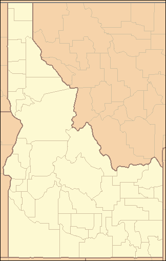 Location of the mouth of Blue Creek in Idaho
| |
Blue Creek is a 53-mile (85 km) long[3] tributary of the Owyhee River in the U.S. state of Idaho. Beginning at an elevation of 6,097 feet (1,858 m)[1] in central Owyhee County, it flows generally south through the Owyhee Desert and near the community of Riddle, where it is roughly paralleled by Idaho State Highway 51. It then flows into the Duck Valley Indian Reservation to its mouth near the Idaho/Nevada border northwest of Owyhee, Nevada,[4] at an elevation of 5,289 feet (1,612 m).[2]
See also
References
- 1 2 Source elevation derived from Google Earth search using GNIS source coordinates.
- 1 2 3 4 "Blue Creek". Geographic Names Information System. United States Geological Survey. June 21, 1979. Retrieved July 16, 2013.
- 1 2 "National Hydrography Dataset". United States Geological Survey. Retrieved July 16, 2013.
- ↑ Idaho Road and Recreation Atlas (Map) (2nd ed.). 1:250,000. Benchmark Maps. 2010. p. 81. ISBN 978-0-929591-06-3. OCLC 567571371.
This article is issued from Wikipedia - version of the 9/11/2016. The text is available under the Creative Commons Attribution/Share Alike but additional terms may apply for the media files.