Blisworth
| Blisworth | |
 Blisworth Tunnel on the Grand Union Canal - north entrance from inside the tunnel |
|
 Blisworth |
|
| Population | 1,786 (2001 Census) 2,867 (2011 Census) |
|---|---|
| OS grid reference | SP727534 |
| – London | 66 mi (106 km) |
| Civil parish | Blisworth |
| District | South Northamptonshire |
| Shire county | Northamptonshire |
| Region | East Midlands |
| Country | England |
| Sovereign state | United Kingdom |
| Post town | NORTHAMPTON |
| Postcode district | NN7 |
| Dialling code | 01604 |
| Police | Northamptonshire |
| Fire | Northamptonshire |
| Ambulance | East Midlands |
| EU Parliament | East Midlands |
| UK Parliament | South Northamptonshire |
|
|
Coordinates: 52°10′30″N 0°56′13″W / 52.175°N 0.937°W
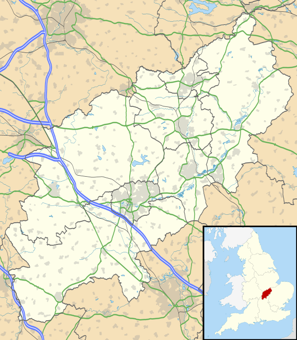
Blisworth is a village and civil parish in the South Northamptonshire district of Northamptonshire, England. The West Coast Main Line, from London Euston to Manchester and Scotland, runs alongside the village partly hidden and partly on an embankment. The Grand Union Canal passes through the village and the north portal of the Blisworth tunnel is near Stoke Road.

Location
It is about 5 miles (8.0 km) south of Northampton, 4 miles (6.4 km) north of Towcester and 10 miles (16 km) north of Milton Keynes. The M1 motorway junction 15 is about 2 miles (3.2 km) north east.
Demographics
The 1961 census showed a population of 1,192. By the 2001 census[2] there were 1,786 people in the parish (the 2010 estimated population is 1,870[3]), 880 male and 906 female, and 792 dwellings. There are also a few small businesses in and around the village. Just to the north of the village on Northampton Road there is a large derelict site, the location of a former abattoir, a garage and small industrial estate
Administration
The local district council is South Northamptonshire Council (SNC)[4] where Blisworth is in Blisworth and Roade ward together with the small hamlet of Courteenhall. The ward elects two members, currently Conservative. From the 2013 election, the parish is in the division of Bugbrook of Northamptonshire County Council (NCC) with one member, also Conservative. There is also a local Parish Council with eleven elected members.
The parliamentary constituency was Daventry prior to the 2010 general election the Boundary Commission put the village in the new parliamentary constituency of South Northamptonshire.
Facilities
The village has its own primary school, Blisworth Community Primary School,[5] with around 200 children. The school takes in a number of children from surrounding areas including the southern outskirts of Northampton. The local secondary school is Elizabeth Woodville School with sites in Roade and Deanshanger. Apart from Blisworth, the catchment area includes Collingtree, Hardingstone, Hackleton, Stoke Bruerne and several other villages.
There is a small supermarket/post-office/newsagent, being the only shop. There is a modern well-equipped doctor's surgery in Stoke Road serving several surrounding villages as well as Blisworth itself.
The village has a pub, The Royal Oak. A second pub, The Sun, Moon and Stars, near the canal closed at least 50 years ago. A third pub, the Grafton Arms, is now a private dwelling. After several years of neglect the listed building was the subject of a compulsory purchase order by South Northants Council in 2007 and may now be restored partly for accommodation and perhaps some community use.[6] There is also a hotel - "The Walnut Tree Inn" - which was the original Blisworth Station Hotel. It is opposite the site of the former station.
The village has two churches, one Church of England, where the church parish includes Stoke Bruerne and the other a Baptist Chapel. The Baptist Chapel was enlarged in 1871.[7]
Blisworth also has a football club, Blisworth F.C.
There is an annual Canal Festival held in the village every August, held to help celebrate the part that the canal has played in Blisworth's history. This festival is organised by the Blisworth Canal Partnership who's aims are to promote, maintain and improve Blisworth's Canal environment.
Transport
Canal
The village is the site of the Blisworth Tunnel of the Grand Union Canal and one of the longest on the English canal system. The tunnel runs south to the nearby village of Stoke Bruerne. The canal runs to the south-west side of the village and a bridge carries the main road though the village. The bridge is partly original, partly widened, as the main road carried the A43 trunk road until a by-pass was constructed.
Roads
The A43 (Northampton-Oxford) Milton Malsor and Blisworth by-pass was opened on 21 May 1991. The by-pass runs to the west of the two villages, now following a newly created route from Tiffield. The road joins the M1 London to Yorkshire motorway at a new junction created at that time, 15A, at West Hunsbury, Northampton. From Northampton to Blisworth the by-pass closely follows the trackbed of the Blisworth to Northampton railway, long since closed. The new road makes a slight detour near the Northampton arm of the canal at the 'staircase' of locks near Rothersthorpe. The road's construction followed many years of long campaigns in the two villages.
Railways
The London and Birmingham Railway, under the surveying and construction control of Robert Stephenson, bypassed Northampton and opened a station in Blisworth in 1839. In 1842, after much discussion, Lord Grafton agreed to fund a new station as long as it was a "first class" station - i.e., all trains stopped at it. Ford Lane became Station Road, the location of Blisworth station. In 1845 a branch line on to Peterborough was completed via Northampton, and in 1866 a single-track line was built to Banbury. Blisworth station closed in January 1960 and both branch lines have also long since gone. The main railway line remains, electrified in the 1960s and is now part of the West Coast Main Line running 125 mph trains from London Euston to Glasgow. The Northampton Loop of the line leaves the main line at Roade, north of Roade cutting[8] and just south of Blisworth, taking trains on into Northampton and further north to re-join the main line at Rugby. The Stratford-upon-Avon and Midland Junction Railway[9] ran from Blisworth station south to Towcester, Banbury and Stratford upon Avon but closed in the 1960s. Much of the infrastructure such as cuttings and bridges remain along the route.
Notable buildings
- Blisworth Station Hotel: opposite the site of the former Blisworth station is the former Blisworth Station Hotel, now called the 'Walnut Tree Inn', built by Richard Dunkley for Thomas Shaw, the proprietor of the former Angel Hotel, later Fat Cats Café Bar at 23 Bridge Street in Northampton destroyed by fire in 2011.
- Robert Stephenson's railway bridge, 1837-8, between Milton Malsor and Blisworth, about 5 miles (8 km) south of Northampton. A viaduct was the original intention.[1]
- Many traditional Northamptonshire local stone cottages, often thatched, and other buildings line the Towcester and Stoke Roads. All, including the following, are private houses for viewing from public roads and paths only:
- Grafton House, Towcester Road (1797)
- Village Hall, Stoke Road. The original school building (rebuilt 1799 after fire)
- Blisworth House, Church Lane (rebuilt 1702)[1]
- Blisworth Stone Works, Stoke Road (c.1821)
- The Old Toll House, Blisworth Arm (c.1800)
- Blisworth Mill, Towcester Road. An old flour mill, 1879, now converted into luxury apartments but used over the period 1900 to c.1985 as a warehouse, a Second World War food storage building, a wine-bottling factory and a spice and herb processing and packaging factory
- Grafton Villas, Northampton Road, near the railway bridge (built 1820)
- Sun, Moon and Stars, Northampton Road, near the canal. A former pub, derelict since ca.1990 and subject of a compulsory purchase order from SNC awaiting sale as of 2012
- St John the Baptist church (CofE) C13-15 Restored 1856 by Edmund Francis Law[1]
- The Rectory, west of the church (1841)[1]
- Stoneacres, Stoke Road, C17, "one of the best examples in the county of enthusiastic use of local materials with bands of limestone and sandstone"[1]
Image gallery
- Recent images showing a current medium-sized typical Northampton village
-

Grafton Villas, Northampton Road, in November 2007
-

Blisworth House main entrance, in January 2008
-

St John the Baptist Church, Blisworth, in January 2008
References
- 1 2 3 4 5 6 Pevsner, Nikolaus (1961). The Buildings of England – Northamptonshire. London and New Haven: Yale University Press. pp. 108–9. ISBN 978-0-300-09632-3.
- ↑ "UK census 2001 - data". Retrieved 2009-01-03.
- ↑ SNC (2010). South Northamptonshire Council Year Book 2010-2011. Towcester NN12 7FA: SNC. p. 39.
- ↑ "South Northants Council website". Retrieved 2008-12-30.
- ↑ "Blisworth Community Primary School website". Retrieved 2009-01-04.
- ↑ "Sun Moon and Stars Community website". Retrieved 2009-01-06.
- ↑ "PICTURES IN AND AROUND THE BAPTIST CHAPEL". blisworth.org.uk. Retrieved 7 April 2013.
- ↑ "Roade cutting, also referred to as Blisworth cutting". Retrieved 2009-01-07.
- ↑ "Stratford and Midland Junction Railway". The Stratford Upon Avon & Midland Junction Railway. Retrieved 2009-01-07.
External links
![]() Media related to Blisworth at Wikimedia Commons
Media related to Blisworth at Wikimedia Commons
- Research on the village
- Research on families
- Blisworth Tunnel preservation group
- The Blisworth Website includes historical photos of the village and many articles about the history, transportation, people and buildings of Blisworth.
- Pictures of Blisworth station
- Northamptonshire County Council
- Information on the annual Blisworth Canal Festival
- Blisworth Canal Partnership. Maintaining and improving Blisworth's Canal environment
- Blisworth Parish Council news and information
- Royal Oak Public House
- Map location on Google