Blairgowrie, Gauteng
| Blairgowrie | |
|---|---|
 Blairgowrie  Blairgowrie  Blairgowrie
| |
|
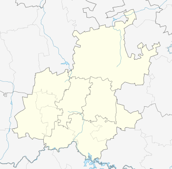
Location within Greater Johannesburg 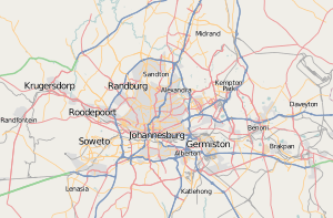 Blairgowrie | |
| Coordinates: 26°06′59″S 28°00′34″E / 26.11639°S 28.00944°ECoordinates: 26°06′59″S 28°00′34″E / 26.11639°S 28.00944°E | |
| Country | South Africa |
| Province | Gauteng |
| Municipality | City of Johannesburg |
| Main Place | Randburg |
| Area[1] | |
| • Total | 4.19 km2 (1.62 sq mi) |
| Population (2011)[1] | |
| • Total | 12,049 |
| • Density | 2,900/km2 (7,400/sq mi) |
| Racial makeup (2011)[1] | |
| • Black African | 24.5% |
| • Coloured | 3.1% |
| • Indian/Asian | 9.1% |
| • White | 61.6% |
| • Other | 1.7% |
| First languages (2011)[1] | |
| • English | 71.0% |
| • Afrikaans | 9.5% |
| • Zulu | 4.3% |
| • Tswana | 2.9% |
| • Other | 12.3% |
| Postal code (street) | 2194 |
Blairgowrie is a suburb of Johannesburg, South Africa. It is located in Region B. It is named after the town of Blairgowrie in Scotland.
References
- 1 2 3 4 "Sub Place Blairgowrie". Census 2011.
This article is issued from Wikipedia - version of the 1/11/2016. The text is available under the Creative Commons Attribution/Share Alike but additional terms may apply for the media files.