Birao Airport
| Birao Airport | |||||||||||
|---|---|---|---|---|---|---|---|---|---|---|---|
| IATA: IRO – ICAO: FEFI | |||||||||||
| Summary | |||||||||||
| Airport type | Public | ||||||||||
| Owner | Government | ||||||||||
| Serves | Birao | ||||||||||
| Location |
| ||||||||||
| Elevation AMSL | 1,522 ft / 464 m | ||||||||||
| Coordinates | 10°14′13.4″N 022°42′58.9″E / 10.237056°N 22.716361°ECoordinates: 10°14′13.4″N 022°42′58.9″E / 10.237056°N 22.716361°E | ||||||||||
| Map | |||||||||||
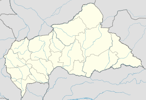 FEFI Location of Birao Airport in the Central African Republic | |||||||||||
| Runways | |||||||||||
| |||||||||||
Birao Airport (IATA: IRO, ICAO: FEFI) is a public use airport located near Birao, Vakaga, the Central African Republic.
See also
References
- ↑ Airport record for Birao Airport at Landings.com. Retrieved 2013-08-25
- ↑ Google (2013-08-25). "location of Birao Airport" (Map). Google Maps. Google. Retrieved 2013-08-25.
External links
- Airport record for Birao Airport at Landings.com
This article is issued from Wikipedia - version of the 11/8/2016. The text is available under the Creative Commons Attribution/Share Alike but additional terms may apply for the media files.