Binaba
| Binaba | |
|---|---|
| Village | |
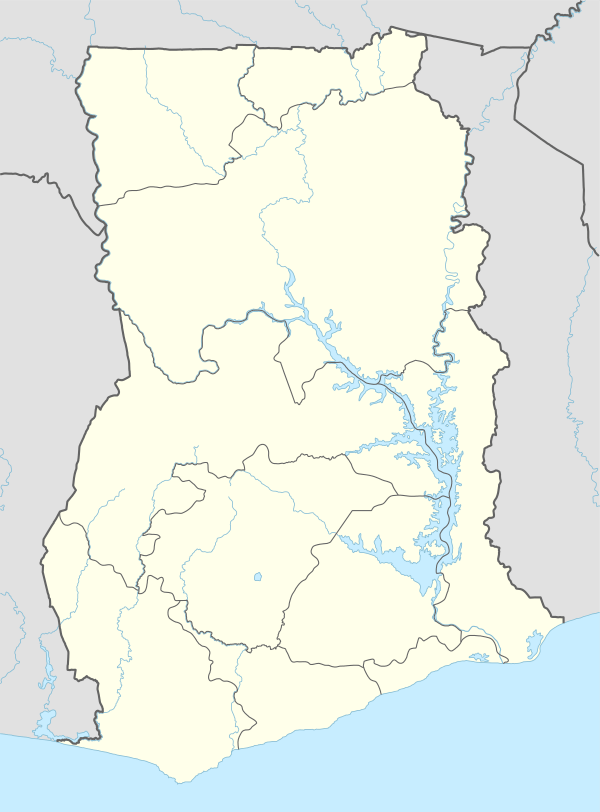 Binaba Location of Binaba in Upper East region | |
| Coordinates: 10°48′N 0°28′W / 10.800°N 0.467°W | |
| Country | Ghana |
| Region | Upper East Region |
| District | Bawku West District |
| Population (2013) | |
| • Total | — |
| Time zone | GMT |
| • Summer (DST) | GMT (UTC) |
Binaba is a rural village in the Bawku West District of the Upper East Region in north Ghana. The village is 15 km south of the district capital Zebilla.[1][2]
Geography
There is a dry season, which includes Haramattan winds from mid-November through late March. The rainy season consists of monsoon rains.[2]
Economy
The principal economic activity is agriculture based on a unimodal distribution of rain. Staple crops include millet, rice and corn. Other important food crops include shea, peanuts, sweet potatoes, mangoes, watermelons and leafy vegetables.[2]
Demographics
Population
There are approximately 300 people in Binaba and the surrounding villages of Kusanaba, Zongoyiri, Gori, Kopella, Azuera.
References
Coordinates: 10°48′N 0°28′W / 10.800°N 0.467°W