Bijela (Brčko)
| Bijela | |
|---|---|
| Village | |
 Bijela | |
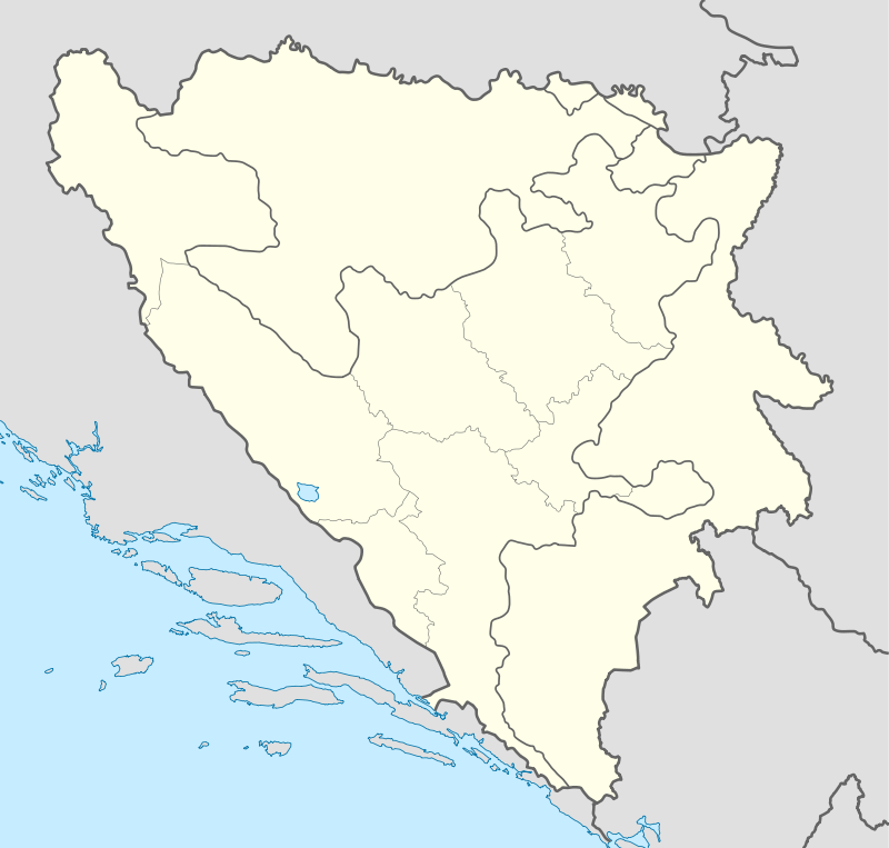
| Coordinates: BA 44°47′24″N 18°33′39″E / 44.79000°N 18.56083°E | |
| Country |
|
| Municipality | Brčko |
| Time zone | CET (UTC+1) |
| • Summer (DST) | CEST (UTC+2) |
Bijela (Serbian: Бијела) is a large village in Bosnia and Herzegovina located approximately 25 kilometers south of the city of Brčko on the Brčko - Banovići railway line. It has approximately 3500 inhabitants and is the largest village in the Brčko District. A hill above the village is the site of some Stećci.[1]
References
Coordinates: 44°47′24″N 18°33′39″E / 44.79000°N 18.56083°E
This article is issued from Wikipedia - version of the 10/14/2015. The text is available under the Creative Commons Attribution/Share Alike but additional terms may apply for the media files.