Biharamulo
| Biharamulo | |
|---|---|
| Town | |
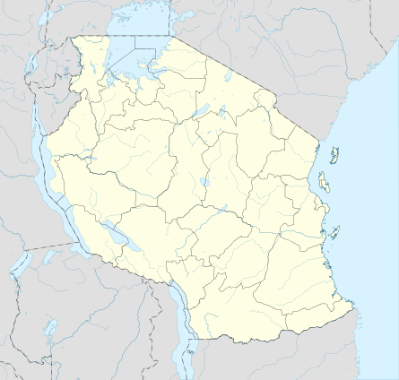 Biharamulo Location in Tanzania | |
| Coordinates: 02°38′S 31°19′E / 2.633°S 31.317°E | |
| Country |
|
| Region | Kagera Region |
| District | Biharamulo District |
| Population (2012) | |
| • Total | 24,573 |
| Time zone | GMT + 3 |
| Climate | Aw |
Biharamulo is a town in northwestern Tanzania. It is the district headquarter of Biharamulo District. Biharamulo used to be a German administrative center in colonial times. Biharamulo Game Reserve is located north of the town.[1]
Transport
Trunk road T4 from Mwanza to Bukoba passes by the town and trunk road T9 to Kigoma Region start in Biharamulo.[2]
Population
According to the 2012 national census the population of Biharamulo town - 'Biharamulo Mjini' ward - is 24,573.[3]
References
- ↑ Tanzania travel guide (6 ed.). Lonely Planet. June 2015. p. 232. ISBN 978-1742207797.
- ↑ "Trunk and Regional Roads in Tanzania". Tanroads. Archived from the original on 8 December 2015. Retrieved 1 December 2015.
- ↑ "Census 2012". National Bureau of Statistics. Archived from the original on March 5, 2016. Retrieved 14 February 2016.
This article is issued from Wikipedia - version of the 11/2/2016. The text is available under the Creative Commons Attribution/Share Alike but additional terms may apply for the media files.