Bétou Airport
| Bétou Airport | |||||||||||
|---|---|---|---|---|---|---|---|---|---|---|---|
| IATA: BTB – ICAO: FCOT | |||||||||||
| Summary | |||||||||||
| Serves | Bétou, Republic of Congo | ||||||||||
| Elevation AMSL | 1,168 ft / 356 m | ||||||||||
| Coordinates | 3°03′28″N 18°30′55″E / 3.05778°N 18.51528°ECoordinates: 3°03′28″N 18°30′55″E / 3.05778°N 18.51528°E | ||||||||||
| Map | |||||||||||
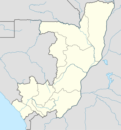 BTB Location in the Republic of the Congo | |||||||||||
| Runways | |||||||||||
| |||||||||||
Bétou Airport (IATA: BTB, ICAO: FCOT) is an airport within the town of Bétou in the Likouala Department, Republic of the Congo. The runway also serves as part of the road leading westward out of town.
See also
 Republic of the Congo portal
 Aviation portal
- List of airports in the Republic of the Congo
- Transport in the Republic of the Congo
References
- ↑ Airport information for BTB at Great Circle Mapper.
- ↑ Google Maps - Bétou
External links
This article is issued from Wikipedia - version of the 6/13/2016. The text is available under the Creative Commons Attribution/Share Alike but additional terms may apply for the media files.