Benito Juárez Airport (Argentina)
Not to be confused with Benito Juarez International Airport.
| Benito Juárez Airport Aeropuerto Benito Juárez | |||||||||||||||
|---|---|---|---|---|---|---|---|---|---|---|---|---|---|---|---|
| IATA: none – ICAO: SAZJ | |||||||||||||||
| Summary | |||||||||||||||
| Airport type | Public | ||||||||||||||
| Serves | Benito Juárez | ||||||||||||||
| Location |
| ||||||||||||||
| Elevation AMSL | 695 ft / 212 m | ||||||||||||||
| Coordinates | 37°42′22.0″S 059°47′31.4″W / 37.706111°S 59.792056°WCoordinates: 37°42′22.0″S 059°47′31.4″W / 37.706111°S 59.792056°W | ||||||||||||||
| Map | |||||||||||||||
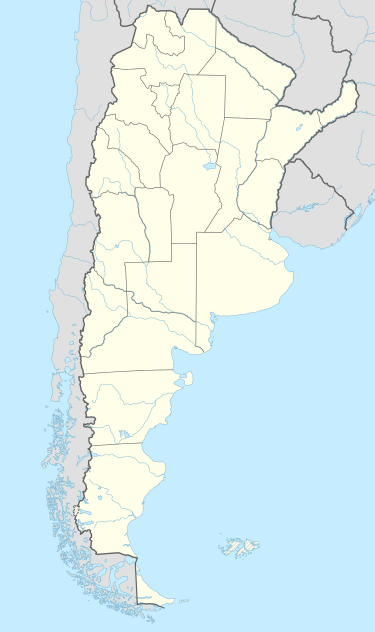 SAZJ Location of Benito Juárez Airport in Argentina | |||||||||||||||
| Runways | |||||||||||||||
| |||||||||||||||
Benito Juárez Airport (Spanish: Aeropuerto Benito Juárez, ICAO: SAZJ) is a public use airport located near Benito Juárez, Buenos Aires, Argentina.
See also
References
- ↑ Airport record for Benito Juárez Airport at Landings.com. Retrieved 2013-09-02
- ↑ Google (2013-09-02). "location of Benito Juárez Airport" (Map). Google Maps. Google. Retrieved 2013-09-02.
External links
- Airport record for Benito Juárez Airport at Landings.com
This article is issued from Wikipedia - version of the 11/8/2016. The text is available under the Creative Commons Attribution/Share Alike but additional terms may apply for the media files.