Beaumaris Bay
| Beaumaris Bay | |
|---|---|
 Looking south-east over Beaumaris Bay from near its northernmost point in Mentone | |
 Beaumaris Bay Location in Victoria | |
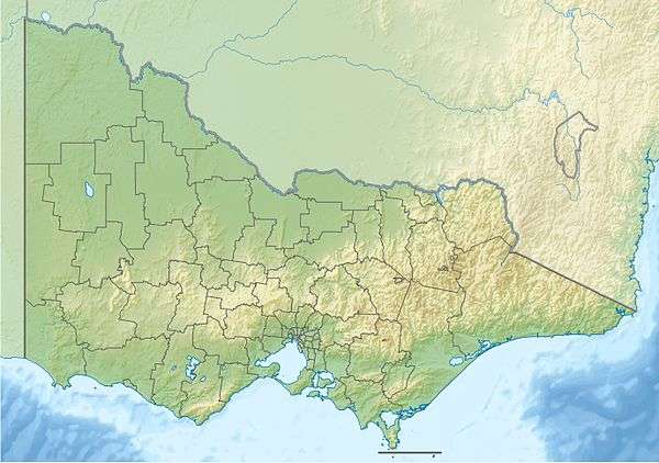
 Map of Port Phillip with Beaumaris Bay in the east | |
| Location | Victoria |
| Coordinates | 37°59′06″S 145°03′15″E / 37.98500°S 145.05417°ECoordinates: 37°59′06″S 145°03′15″E / 37.98500°S 145.05417°E[1] |
| Primary inflows | Kananook Creek, Patterson River, Mordialloc Creek |
| Primary outflows | Port Phillip |
Beaumaris Bay is a bay in the east of Port Phillip, Victoria, Australia.
Beaumaris Bay commences at the cliffs at Rickett's Point in the south of the suburb of Beaumaris, then stretches alongside Mentone Beach in Mentone through a string of suburban beaches south to Frankston. The northern shore is covered by Bayside and Kingston councils and the southern reaches are in Frankston council.
The main streams and tributaries supplying the bay are Mordialloc Creek, Patterson River, and Kananook Creek.
References
- ↑ "Beaumaris Bay (VIC)". Gazetteer of Australia online. Geoscience Australia, Australian Government.
|
This article is issued from Wikipedia - version of the 1/15/2016. The text is available under the Creative Commons Attribution/Share Alike but additional terms may apply for the media files.