Bay of Arguin
| Bay of Arguin Baie d'Arguin 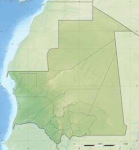 | |
|---|---|
 Map of the wider gulf area showing the Banc d'Arguin National Park | |
| Coordinates | 20°36′N 16°29′W / 20.6°N 16.49°WCoordinates: 20°36′N 16°29′W / 20.6°N 16.49°W |
| Ocean/sea sources | Atlantic Ocean[1] |
| Basin countries | Mauritania |
| Max. length | 13 km (8.1 mi) |
| Max. width | 20 km (12 mi) |
| Islands | Île d’Arguin, Île de l'Ardent |
The Bay of Arguin (French: Baie d'Arguin) is a bay on the Atlantic shore of Mauritania.[2]
Geography
It is located south of Cap Blanc, north of Cap Timiris.
The bay contains three islands, including Arguin and Tidra, as well as numerous sandbanks. It is also the site of the 12,000 km² Banc d'Arguin National Park in which most of the bay includes, the northern boundary is at Minou, it does not include the Dakhlet Nouadhibou are or the westernmost areas. Smaller bays includes Dakhlet Nouadhibou in the north and Baie de Tanoudert in the east, other promontories includes Minou, Cap Sainte-Anne, Argun, Alzaz, Tagarit and Tafarit. One stream flowing only when the climate is partly wet, the Oued Chibka is in the northcentral part.
Places by the bay includes Nouadhibou in the north, Arkeiss and Tel-Alloul to the east and Teichott , R'Gueiba and Awguei to the south.
History
The bay would be first known in 1035 as Abdallah ibn Yasin founded a ribat (military refuge) in the island of Tidra and was the origin of the Almoravid Dynasty.[3]
The first European to visit the bay was Nuno Tristão in 1443 and the remainder of the bay would be explored.
The area is also known as the place where the French French frigate Méduse (1810) was wrecked in 1816.[4]
References
- ↑ GoogleEarth
- ↑ "Baie d'Arguin". Mapcarta. Retrieved 14 October 2016.
- ↑ http://www.terremauritanie.com/noticias-todas-las-informaciones-historia-historia-de-la-mauritania-news-_23.html
- ↑ Corréard, Alexandre; Savigny, Jean Baptiste Henri (2004-04-01). Narrative of a Voyage to Senegal in 1816 Undertaken by Order of the French Government, Comprising an Account of the Shipwreck of the Medusa, the Sufferings of the Crew, and the Various Occurrences on Board the Raft, in the Desert of Zaara, at St. Louis, and at the Camp of Daccard. to Which Are Subjoined Observations Respecting the Agriculture of the Western Coast of Africa, from Cape Blanco to the Mouth of the Gambia.