Bay d'Espoir
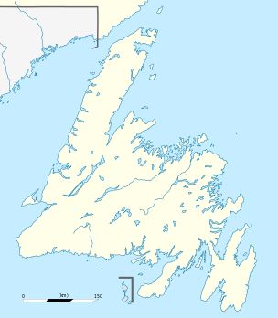
Bay d'Espoir is the inner reaches of a large glacial carved fjord in the Gulf of St. Lawrence on the south coast of Newfoundland.
It appears in printed form with many different spellings, some of which are: Bay D' Espoir/e, Bay Despair, Bay Despoir/e, Baie D' Espoir/e, Baie Despair and Baie Despoir/e.
Communities in Bay d'Espoir are: Head of Bay d'Espoir, Milltown, Morrisville, St. Alban's (formerly Ship Cove), St. Joseph's Cove, St. Veronica's and Miawpukek.
It is sometimes claimed that the name Bay Despair represents an English corruption of the French name Baie d'Espoir. However, the inverse may be true.[1] The French cartographer Bellin, on his 1743 map "Carte de l'Isle de Terre-Neuve" has "Baye du Desespoir" [sic]. It would appear therefore that the actual sequence may have been from "Baie du Désespoir" to the English literal translation "Bay Despair", which appears as early as 1733 on a Henry Popple map, and then to a French corruption of this, namely "Baie d'Espoir"!
Contrary to the above evidence, the English name "Bay of Despair" can be found on a detailed coastline map of the south coast of Newfoundland which was hand-drawn by the world-renowned Captain James Cook (an enlarged version of the original map can currently be found on display in Bay d'Espoir). This map was made shortly after land agreements had been reached between the French and English during the mid to late 16th century. The English had acquired considerable French territory in close proximity to rich fishing grounds but with little of the coastline being well charted. Captain James Cook was hired by the English authorities to provide them with accurate, detailed maps of the coast so that they might better defend it, should the French try to reclaim it as theirs, and also with the hope that suitable sites for new settlements might be discovered. As many other place names on this map are quite clearly Anglicized versions of their original French names, such as "Rencontre" (ren-contra) being transformed into "Rencontre" (ren-counter), one might assume, then, that Cook's labeling of "Bay of Despair" is a literal, phonetic translation of the previous French title of "Bay d'Espoir".
Bay d'Espoir is often translated locally either as Bay of Hope or Bay of Despair.
Bay d'Espoir is the feature location of Farley Mowat's 2006 autobiography "Bay of Spirits", in which Mowat chronicles his time living on the Southwest coast of the island of Newfoundland.
See also
References
- ↑ Charles A. Martijn/Mikmawey Archived March 2, 2005, at the Wayback Machine.
Coordinates: 47°40′26″N 56°06′27″W / 47.67389°N 56.10750°W