Batu Apoi Forest Reserve
| Batu Apoi Forest Reserve Batu Apoi National Park | |
|---|---|
|
Rain Forests of Brunei | |
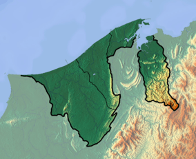 Location of Batu Apoi Forest Reserve | |
| Nearest city | Brunei Darussalam |
| Coordinates | 4°36′00″N 115°11′00″E / 4.6°N 115.18333°ECoordinates: 4°36′00″N 115°11′00″E / 4.6°N 115.18333°E |
| Area | 50,000 hectares (120,000 acres) |
| Established | 1991 |

Batu Apoi Forest Reserve is located in Batu Apoi in the Temburong District of Brunei. The Ulu Temburong National Park is located within the reserve.[1] Its mountains reach altitudes of 1,000 metres (3,300 ft) around its southeastern borders. The region features the shale lithology known as Setap Shale, and sometimes as Temburong Formation. River channels, V-shaped valleys, and mixed Dipterocarp rainforest also characterize the forest reserve.[2]
References
- ↑ USA IBP (25 November 2009). Brunei Mineral & Mining Sector Investment and Business Guide. International Business Publications. pp. 237–. ISBN 978-1-4330-0442-1. Retrieved 8 February 2013.
- ↑ Bryant, Raymond; Parnwell, Michael (6 December 2012). Environmental Change in South-east Asia. Psychology Press. pp. 295–. ISBN 978-0-415-12932-9. Retrieved 8 February 2013.
This article is issued from Wikipedia - version of the 11/19/2016. The text is available under the Creative Commons Attribution/Share Alike but additional terms may apply for the media files.