Battambang Airport
| Battambang Airport | |||||||||||
|---|---|---|---|---|---|---|---|---|---|---|---|
| IATA: BBM – ICAO: VDBG | |||||||||||
| Summary | |||||||||||
| Airport type | Public | ||||||||||
| Serves | Battambang, Cambodia | ||||||||||
| Elevation AMSL | 59 ft / 18 m | ||||||||||
| Coordinates | 13°05′44″N 103°13′27″E / 13.09556°N 103.22417°ECoordinates: 13°05′44″N 103°13′27″E / 13.09556°N 103.22417°E | ||||||||||
| Map | |||||||||||
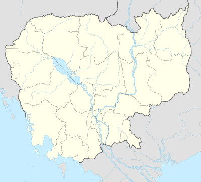 Battambang Airport Location of airport in Cambodia | |||||||||||
| Runways | |||||||||||
| |||||||||||
| Statistics (?) | |||||||||||
| |||||||||||
Battambang Airport (Khmer: ព្រលានយន្តហោះខេត្តបាត់តំបង) (IATA: BBM, ICAO: VDBG) is an airport serving Battambang,[1] a city in Battambang Province, Cambodia. The airport is 3 kilometers from the city center in Battambang. It has a total land area of 128.68 hectares.
History
The airport commenced operations in 1968.
Facilities
The airport resides at an elevation of 60 feet (18 m) above mean sea level. It has one runway designed 07/25 with an asphalt surface measuring 1,600 by 40 metres (5,249 ft × 131 ft).[1]
References
- 1 2 3 Airport information for VDBG from DAFIF (effective October 2006)
- ↑ Airport information for BBM at Great Circle Mapper. Source: DAFIF (effective October 2006).
External links
This article is issued from Wikipedia - version of the 12/4/2016. The text is available under the Creative Commons Attribution/Share Alike but additional terms may apply for the media files.