Batlava-Donja Penduha Airfield
| Batlava-Dumosh Airfield Aerodrom Batlava-Dumosh Аеродром Батлава-Доња Пендуха | |||||||||||
|---|---|---|---|---|---|---|---|---|---|---|---|
| IATA: none – ICAO: LYPT | |||||||||||
| Summary | |||||||||||
| Airport type | Ex-military now civilian | ||||||||||
| Owner | Kosovo Civil Aviation Authority | ||||||||||
| Operator | 1999-2008 KFOR; 2008 - present nobody; future plans to open a flying school. | ||||||||||
| Serves | Podujevo | ||||||||||
| Location | Dumosh | ||||||||||
| Elevation AMSL | 1,978 ft / 603 m | ||||||||||
| Coordinates | 42°50′43.80″N 21°13′12.00″E / 42.8455000°N 21.2200000°ECoordinates: 42°50′43.80″N 21°13′12.00″E / 42.8455000°N 21.2200000°E | ||||||||||
| Map | |||||||||||
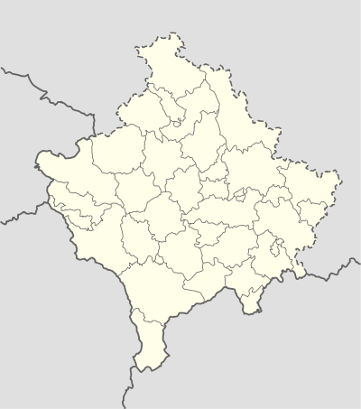 Batlava-Dumosh Airfield Location in Kosovo | |||||||||||
| Runways | |||||||||||
| |||||||||||
Batlava-Donja Penduha Airfield or Batlava Airport (ICAO: LYPT) (Albanian: Aeroporti i Batllavës; Serbian: Аеродром Батлава / Aerodrom Batlava) is a former military airport in the village of Dumosh, near Lake Batlava and the towns of Batlava and Podujevo in Kosovo.
History
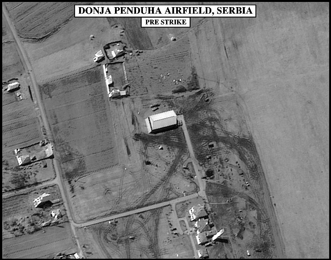
In 1936, Aeroput used the airport on the Belgrade-Podujevo-Skopje line using the Aeroput MMS-3 plane. The airport was later rebuilt for military use by the Yugoslav army and air force. It was damaged in 1999 during the NATO bombing of the Federal Republic of Yugoslavia.
See also
Sources
- (English) Airfield: Donja Penduha
External links
- (English) DONJA PENDUHA AIRFIELD, SERBIA
This article is issued from Wikipedia - version of the 10/28/2016. The text is available under the Creative Commons Attribution/Share Alike but additional terms may apply for the media files.