Baracoa Regional Airport
| Baracoa Regional Airport Aeropuerto Baracoa de Magangue | |||||||||||||||
|---|---|---|---|---|---|---|---|---|---|---|---|---|---|---|---|
| IATA: MGN – ICAO: SKMG | |||||||||||||||
| Summary | |||||||||||||||
| Airport type | Regional | ||||||||||||||
| Operator | LANZA | ||||||||||||||
| Location | Magangué | ||||||||||||||
| Elevation AMSL | 98,4 ft / 30 m | ||||||||||||||
| Coordinates | 09°07′05″N 74°50′45″W / 9.11806°N 74.84583°WCoordinates: 09°07′05″N 74°50′45″W / 9.11806°N 74.84583°W | ||||||||||||||
| Map | |||||||||||||||
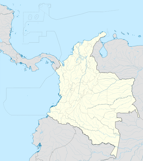 MGN Location of airport in Colombia | |||||||||||||||
| Runways | |||||||||||||||
| |||||||||||||||
|
Source:[1] | |||||||||||||||
The Baracoa Regional Airport (IATA: MGN, ICAO: SKMG) air terminal is located in northwestern Magangué in Colombia.
The Baracoa Regional Airport used to be a hub for airline operations such as Avianca, LANZA and Satena. However, on January 4, 1969, the airport ceased its commercial passenger flight operations and closed its flight schools, following a decision to focus on traffic from smaller aircraft.
It is the main airport in the Mojana Province, and is used for the landing of both small aircraft and helicopters. The airport is 12 miles (19 km) from downtown Magangué, and the track is in good condition and suitable for landings.
Former destinations
![]() COL LANZA
COL LANZA
- Bogotá/El Dorado International Airport
- Medellín/Olaya Herrera Airport
- Barranquilla /Ernesto Cortissoz International Airport
- Cartagena/Rafael Nunez International Airport
- Bogotá/Eldorado International Airport (plans to restart)
Equipment receiving terminal
Commercial aircraft
Cargo aircraft
Accidents and incidents
- A plane intercepted a drug cartel in the region, and was forced to land.
See also
References
External links
- SKMG Airport information for SKMG at Great Circle Mapper.
- SKMG Airport information for SKMG at World Aero Data. Data current as of October 2006.
- MGN Accident history for MGN at Aviation Safety Network
This article is issued from Wikipedia - version of the 10/25/2016. The text is available under the Creative Commons Attribution/Share Alike but additional terms may apply for the media files.