Banskandi
| Banskandi | |
|---|---|
| Village | |
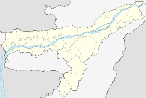 Banskandi  Banskandi Location in Assam, India | |
| Coordinates: 24°48′0″N 92°54′0″E / 24.80000°N 92.90000°ECoordinates: 24°48′0″N 92°54′0″E / 24.80000°N 92.90000°E | |
| Country |
|
| State | Assam |
| District | Cachar |
| Government | |
| • Body | Gram panchayat |
| Elevation | 23 m (75 ft) |
| Languages | |
| • Official | Bengali |
| Time zone | IST (UTC+5:30) |
| Vehicle registration | AS |
| Coastline | 0 kilometres (0 mi) |
Banskandi is a Block level area in Cachar district, Assam, India, almost 13 km from Silchar. Many small villages are there under its shade. Banskandi is a commercial center for the low level villager and small and village level entrepreneur, Though not much develop Banskandi fulfills the need of the common man who cannot effort for high level livelihood.
Geography
It is located at an elevation of 23 m from MSL.[1]
Location
National Highway 53 Now National Highway 37 passes through Banskandi.
Livelihood
Majority of peoples here are farmers, cultivator and fishermen.
Languages and Peoples
Bengali and Manipuri are the major population of the area, Bengali language is the common languages spoken in the region as a commercial language. Hindi Speaking people are very few in numbers.
Banks
Assam Gramin Vikash Bank is the only bank in the area.
School and Institute
- Banskandi Darul Ullum Madrassa
- Banskandi Nena Meah Higher Secondary School
- MD English School
- Millat Academy
- Banskandi Junior College
- Barak Valley Secondary School
Place of Interest
Banskandi Lake
References
- ↑ http://www.fallingrain.com/world/IN/3/Banskandi.html Map and weather of Banskandi