Banjar, West Java
| Banjar City Kota Banjar | |
|---|---|
| City | |
| Other transcription(s) | |
| • Sundanese | ᮊᮧᮒ ᮘᮔ᮪ᮏᮁ |
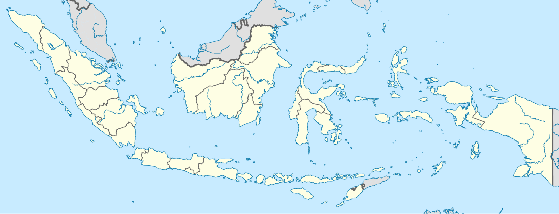 Banjar City Location of Banjar in Indonesia | |
| Coordinates: 7°22′S 108°32′E / 7.367°S 108.533°ECoordinates: 7°22′S 108°32′E / 7.367°S 108.533°E | |
| Country | Indonesia |
| Province | West Java |
| Area | |
| • Total | 113.59 km2 (43.86 sq mi) |
| Elevation | 107 m (351 ft) |
| Population (2010 Census) | |
| • Total | 175,910 |
| • Density | 1,500/km2 (4,000/sq mi) |
| Time zone | WIB (UTC+7) |
| Website | http://www.banjar-jabar.go.id/ |
Banjar is a small independent city (not located in any regency) in the east of West Java, Indonesia, on the border between West Java and Central Java.
This city also known as Banjar Patroman or Pataruman.
Train
The dormant train between Banjar and Cijulang, with a length of 82.385 kilometers, gives the beautiful panorama along the track, including hills and Pangandaran sea from above. The track has several old stations with class I, II, and III categories, has 3 tunnels, and one of them, the Wilhemina tunnel, with a length of 1,116 meters, is the longest tunnel in Indonesia; it also has the longest (Cikacepit) bridge in Indonesia, with a length of 1,250 meters and a height of 100 meters above the ground. The authority has mention to live the dormant train and will develop Pangandaran and Cijulang stations with still stay with the originals.[1]
References
- ↑ "Terowongan Wilhelmina Terpanjang di Indonesia" (in Indonesian). July 7, 2013.
External links
| Wikivoyage has a travel guide for Banjar. |
- Witton, Patrick (2003). Indonesia. Melbourne: Lonely Planet. p. 193. ISBN 1-74059-154-2.