Bangar, Brunei
For the mukim, see Mukim Bangar, Brunei.
| Bangar | |
|---|---|
| Town | |
| Nickname(s): Rainforest city or interior city | |
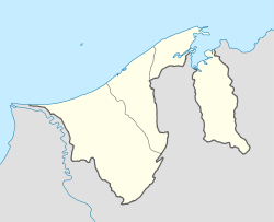 Bangar Location in Brunei | |
| Coordinates: 4°42′30″N 115°4′25″E / 4.70833°N 115.07361°ECoordinates: 4°42′30″N 115°4′25″E / 4.70833°N 115.07361°E | |
| Country |
|
| Area | |
| • Total | 10 km2 (4 sq mi) |
| Population (2008) | |
| • Total | 3,970 |
| • Density | 400/km2 (1,000/sq mi) |
| Time zone | (UTC+8) |
| Mean solar time | UTC+07:39:00 |
| Website | municipal-bsb.gov.bn |
Bangar is a small town in Brunei, and the capital of Temburong District, an isolated territorial exclave separated from the rest of Brunei by the Sarawak State of Malaysia.
Geography
The town is in the Mukim Bangar (sub-district) of Temburong District. The population is 3,970 inhabitants.
One main road runs through the town, roughly east-west. Headed east of Bangar is Lawas, Sarawak (Malaysia) and to the west is the river crossing to Limbang, Sarawak (Malaysia). The road is the major route to the local quarry where boulders are collected, processed and shipped to stockyards in the capital, Bandar Seri Begawan, for construction companies.
External links
 Bangar travel guide from Wikivoyage
This article is issued from Wikipedia - version of the 12/23/2015. The text is available under the Creative Commons Attribution/Share Alike but additional terms may apply for the media files.