Bamba Dhura
| Bamba Dhura | |
|---|---|
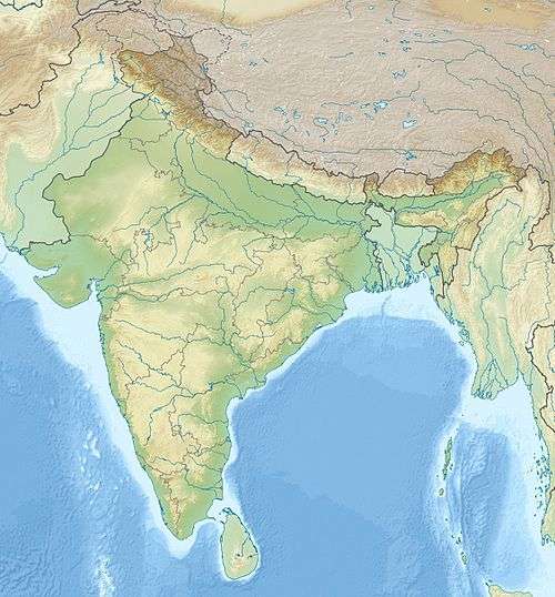 Bamba Dhura Location in northern India | |
| Highest point | |
| Elevation | 6,334 m (20,781 ft) |
| Coordinates | 30°26′24″N 80°16′48″E / 30.44000°N 80.28000°ECoordinates: 30°26′24″N 80°16′48″E / 30.44000°N 80.28000°E |
| Geography | |
| Location | Pithoragarh, Uttarakhand, India |
| Parent range | Kumaon Himalaya |
| Climbing | |
| First ascent | 1977 |
Bamba Dhura is a Himalayan mountain peak situated in the Pithoragarh district of Uttarakhand, India. With a summit altitude of 6,334 metres (20,781 ft), Bamba Dhura is situated on the north west ridge over the end of the Kalabaland Glacier in the eastern part of the district, left of the Milam Glacier. Kalabaland Dhura (6,105 m) is situated to the west of this peak and Chiring We (6,559 m) is on the same massif. Bamba Dhura massif is the part of divide between Kalabaland and Lassar valley. This peak was first climbed to the summit in 1977 from south by col between Bamba Dhura and Chiring We. The peak has since been climbed through the southeastern and western ridges between the two peaks.
References
This article is issued from Wikipedia - version of the 7/17/2016. The text is available under the Creative Commons Attribution/Share Alike but additional terms may apply for the media files.